 Abandoned
Overview
Wind, water and a dam
Irving stood on the Big Blue River about six miles southeast of Blue Rapids. Settlers from Lyons, Iowa, laid it out in 1859 and named it for the author Washington Irving. It had a post office by 1860 and a railroad by 1867.
On May 30, 1879, two tornadoes crossed the town and destroyed most of it, killing 19 people. Irving rebuilt and reached an estimated 403 people by 1910. The river was a steadier threat. It flooded in 1903, and after record floods in 1951 the Corps of Engineers went ahead with Tuttle Creek Dam downstream.
The reservoir's land taking ended the town. Residents moved out, businesses closed and the post office shut in 1960. The lake itself never reached Irving, which lies about ten miles north of it.
Timeline
A century on the Big Blue
- Ten people from Lyons, Iowa, agree to found a town on the Big Blue River and name it for Washington Irving.
- The territorial legislature incorporates the Irving Town Company in February. A post office opens in June.
- The Central Branch Union Pacific railroad reaches Irving.
- Two tornadoes destroy most of the town and kill 19 people.
- The Big Blue floods, wrecking homes, crops and bridges.
- Population estimated at 403.
- After record floods, the Corps of Engineers goes ahead with its plan for reservoirs, among them Tuttle Creek.
- With Tuttle Creek Dam under way, the post office closes and the town is abandoned, though the lake never reaches it.
What's here
Streets without houses


The roads and building foundations are still visible. A stone marker stands where the post office was, in a small makeshift park with a mailbox and a notebook where visitors sign in. The site is at Zenith and 12th Roads.
The historic maps show the change. The 1889 and 1894 sheets show a working railroad town. By 1968 the same street grid sits empty next to the reservoir's wildlife management area and an abandoned railroad grade.
- Street grid
- Building foundations
- Stone marker at the post office site
- Visitor mailbox and notebook


Historic maps
Irving on USGS maps, 1889–1986
Crops from the USGS Historical Topographic Map Collection, centered on the townsite. Each sheet shows what surveyors mapped that year; compare them with today's topo and aerial on this page.

Day trip
Plan a day trip to Irving from Marysville
Take it with you
Day trip itinerary
The essentials, the sample day with boxes to tick, what to photograph and the coordinates, on two printable pages. Handy where there's no signal.
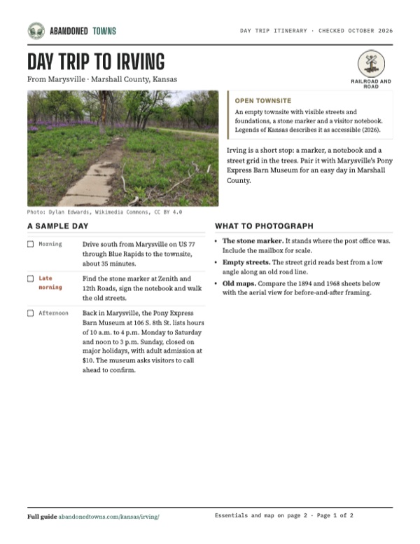
Download the PDF (588 KB)Irving is a short stop: a marker, a notebook and a street grid in the trees. Pair it with Marysville's Pony Express Barn Museum for an easy day in Marshall County.
A sample day
- Drive south from Marysville on US 77 through Blue Rapids to the townsite, about 35 minutes.
- Find the stone marker at Zenith and 12th Roads, sign the notebook and walk the old streets.
- Back in Marysville, the Pony Express Barn Museum at 106 S. 8th St. lists hours of 10 a.m. to 4 p.m. Monday to Saturday and noon to 3 p.m. Sunday, closed on major holidays, with adult admission at $10. The museum asks visitors to call ahead to confirm.
What to photograph and film
- The stone marker. It stands where the post office was. Include the mailbox for scale.
- Empty streets. The street grid reads best from a low angle along an old road line.
- Old maps. Compare the 1894 and 1968 sheets below with the aerial view for before-and-after framing.
Map & directions
Getting there
Marysville, the county seat, is the closest city with full services, about 35 minutes north. From Topeka the route runs west on I-70 and north on K-99 and K-9. Both pass through Blue Rapids and end on Zenith Road.


Base map: USGS The National Map (public domain). Routes: OSRM on © OpenStreetMap contributors data (ODbL), computed October 2026. Times assume dry roads.
- Take Elm Street to South 10th Street (US 77) and head south to Blue Rapids.11.5 mi
- In Blue Rapids, take 6th Street, which becomes 10th Road.1.5 mi
- Turn left onto Vista Road, which becomes 11th Road.2.2 mi
- Turn left onto Zenith Road to the townsite.1.2 mi
- From downtown, take Topeka Boulevard to I-70 and head west.34.4 mi
- Exit and take K-99 north to Frankfort.45.9 mi
- Follow K-9 west to US 77 at Blue Rapids.13.2 mi
- Take 6th Street, which becomes 10th Road, then left on Vista Road, which becomes 11th Road.3.7 mi
- Turn left onto Zenith Road to the townsite.1.2 mi
Road and safety notes
- The last miles run on county roads. We couldn't confirm whether they're paved; check conditions after rain.
- The site has no services. Blue Rapids is about six miles away, and Marysville has full services.
Photos
Irving in photos
Visitor reports
Been to Irving?
Been there lately? Tell the next visitor what you found: whether you could get in, the state of the road and what's still standing. Photos are welcome. We read every report before it appears here.
Railroad and road
More railroad, road and fort ghost towns
The nearest in Kansas.

 Guide
Diamond Springs
38.56, -96.74Morris County, Kansas
Santa Fe Trail travelers called its spring the Diamond of the Plains. A railroad hamlet of the same name grew up four miles south and faded after its…
 Guide
Bazaar
38.27, -96.54Chase County, Kansas
One of the oldest settlements in Chase County, named for a Pennsylvania shop, that grew into the state's largest railroad cattle-shipping point in…
Nearby
Other sites near Irving
Straight-line distance from the townsite to other mapped sites in our Kansas index.
- Blaine14.3 mi SE · Pottawatomie
- Bala29.5 mi SW · Riley
- Saint George32.3 mi S · Pottawatomie
- Broughton32.7 mi SW · Clay
- Strawberry35.3 mi W · Washington
- Pawnee39.3 mi S · Geary
- Alida41.8 mi SW · Geary
- Clyde42.9 mi W · Cloud
Sources
Sources and credits
- Wikipedia, "Irving, Kansas", retrieved October 2026: founding, name, the 1879 tornadoes, distance to Tuttle Creek Lake, abandonment in 1960, current access, marker and visible remains.
- Legends of Kansas, "Irving, Kansas" (updated June 2026): founders, incorporation, post office, railroads, floods, 1910 population, the 1960 closing, current access, marker, notebook and location.
- Pony Express Barn Museum, "Plan Your Visit", the museum's own site, as of October 2026: address, hours and admission.
- Elevation from a USGS 3D Elevation Program point query. Routes: OSRM on OpenStreetMap data, October 2026. Status checked against the sources above on October 19, 2026.
Photo and map credits
- An old sidewalk running through the trees and phlox of the townsite, May 2020: Dylan Edwards, Wikimedia Commons, CC BY 4.0
- The carved stone Irving marker and its townsite plaque, with the visitors' mailbox, June 2009: Bhall87, Wikimedia Commons, CC BY-SA 3.0
- Area base map, topo and aerial imagery: USGS The National Map (public domain).
- Historic maps: USGS Historical Topographic Map Collection (public domain): Marysville 1889, 1:125,000; Marysville 1894, 1:125,000; Blue Rapids NE 1968, 1:24,000; Blue Rapids 1986, 1:100,000.