 Abandoned
Record
About Hinkle
This is a site record: what public sources say about Hinkle, gathered in one place. We haven't written a full guide yet, so history, current access and photos are still to come. Treat the status as unknown until a guide confirms it.
Map
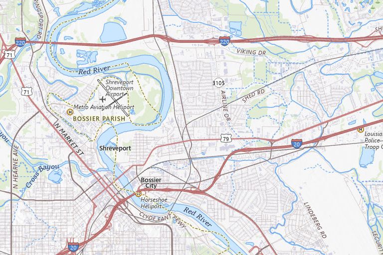
Where Hinkle is
Historic maps
12 historic USGS maps cover Hinkle
Topographic sheets from the USGS Historical Topographic Map Collection (public domain), oldest first. Older sheets often show the camp, mines and roads while the place was alive. The downloads are large map scans; USGS topoView shows them in the browser.
- 1932 Bossier SW sheet, 1:31,680 · GeoTIFF download
- 1948 Bossier City sheet, 1:62,500 · GeoTIFF download
- 1955 Bossier City sheet, 1:24,000 · GeoTIFF download
- 1955 Bossier City sheet, 1:62,500 · GeoTIFF download
- 1955 Shreveport sheet, 1:250,000 · GeoTIFF download
- 1956 Shreveport sheet, 1:250,000 · GeoTIFF download
- 1960 Bossier City sheet, 1:24,000 · GeoTIFF download
- 1975 Bossier City sheet, 1:24,000 · GeoTIFF download
- 1978 Bossier City sheet, 1:62,500 · GeoTIFF download
- 1984 Shreveport sheet, 1:250,000 · GeoTIFF download
- 1986 Shreveport North sheet, 1:100,000 · GeoTIFF download
- 1998 Bossier City sheet, 1:24,000 · GeoTIFF download
Directions
Getting there
Before you go
- Many ghost town sites are on private land, active mining claims or tribal land. Check land status and ask permission.
- Roads to old townsites are often unmaintained dirt. Map apps may route over closed or impassable tracks.
- Removing artifacts from public land is illegal under federal and most state laws.
Sources
Sources
- ghosttowns.com, "Hinkle": county, roads, climate, best time to visit, remains.
- USGS 3D Elevation Program, elevation at the coordinates.
- USGS The National Map and Historical Topographic Map Collection (public domain).