 Abandoned
Overview
A county seat that moved upriver

Greenville was Wayne County's seat for more than a hundred years. The county commissioners chose a small settlement on the St. Francis River called Cedar Cabin in 1818, and it was renamed Greenville; Wikipedia's article on the town gives 1819. The post office opened in 1832. The town's courthouses had bad luck: the first burned in 1854, records were stolen in 1866, and the courthouse burned again in 1892, so few early county records survive.
The Civil War reached Greenville early. In 1861 about 800 Confederate troops under William J. Hardee camped near town before withdrawing to Arkansas in August, and in July 1862 an attack on a Missouri State Militia camp there killed four men. Greenville became a village in 1893 and peaked at 1,051 people in 1900.
Then came the dam. Lake Wappapello was created downstream in 1938 to hold back the St. Francis floods, and the town was expected to flood with it. By 1940 Greenville was down to 572 people. In 1941 the rest moved about two miles north to the new Greenville, taking their buildings and leaving the foundations. The old site became a Corps of Engineers recreation area and, in 1990, a National Register site of 181 acres. Today a paved loop called Memory Lane follows the old streets and sidewalks.
Video
Stop by stop along Memory Lane
A couple camping at the recreation area ride an e-bike around Memory Lane on a summer day and stop at each lettered sign: the steps of the Bedwell Tavern, bricks and old sidewalk at the Wayne County Bank, the raised courthouse site with its steps and bits of foundation, a concrete traffic block from an old street corner, and the concrete floors of a car dealership and of Marsh's store. At some stops nothing shows above the weeds. The history in the video is read from the Corps's trail signs. Its date of 1925 for the last courthouse and its other details are not in our other sources.
 Play “Ebiking Memory Lane - What's Left of OLD Greenville” from YouTube
Timeline
From Cedar Cabin to Lake Wappapello
- Wayne County's commissioners pick Cedar Cabin, a small settlement on the St. Francis River, as the county seat, and it is renamed Greenville. Wikipedia's town article dates the founding to 1819 and names it for Fort Greene Ville in Ohio.
- A flood.
- The first post office opens.
- The first courthouse burns.
- About 800 Confederate troops under William J. Hardee are stationed near Greenville. They withdraw to Arkansas on August 28.
- An attack on a Missouri State Militia camp at Greenville kills four men.
- Records in the courthouse are stolen.
- The courthouse burns. Few county records from the period survive.
- Greenville is incorporated as a village on February 23.
- Population 1,051, the town's peak.
- Lake Wappapello is created downstream for flood control. The U.S. Army Corps of Engineers owns the dam and the lake.
- Population 572.
- The remaining residents are moved about two miles north to the new Greenville. Buildings are moved; foundations stay behind.
- The old townsite, Old Greenville (23WE637), is listed on the National Register of Historic Places: 181 acres.
- The Memory Lane trail through the old streets becomes a National Recreation Trail.
What's left
Memory Lane

Memory Lane is a one-mile paved loop through the old town, a National Recreation Trail since 2005. The Corps's Recreation.gov page says it winds along the historical foundations and streets. Interpretive signs stand at the gazebo and along the way, and the trail shares ground with the Greenville bike trail and the Trail of Tears National Historic Trail. A trail ambassador who walked it in March 2021 warned of uneven concrete and wet spots.
Lettered signs mark the stops. A video posted in July 2024 shows what is at them: concrete steps that once led into the Bedwell Tavern, bricks and a stretch of sidewalk at the Wayne County Bank, steps up the raised site of the courthouse, the concrete floors of a car dealership and of Marsh's store, and a concrete block that once sat in a street intersection to steer traffic. At several sites, such as the St. Francis Hotel, nothing shows above the grass and weeds.
The town's cemetery is inside the park. The 2024 video ends there, at what the couple call Union Cemetery, showing headstones dated from the 1860s on and several Confederate soldiers' graves. Wikipedia says the suffragist Alice Curtice Moyer is buried in the Old Greenville Cemetery; a 2015 post on the Missouri Women blog instead found her grave at Crossroads Church Cemetery, a drive away, so check before you go looking. A mound marks where the courthouse stood.
The river is close. An NPS photo of April 27, 2017, shows the trail's waysides by the St. Francis standing in floodwater, and Wikipedia notes the town itself flooded as early as 1826.
The old maps tell the story. The 1934 Greenville sheet below shows a tight grid of streets on the east bank of the St. Francis, with US 67 running through. On the 1966 sheet the grid survives only as dashed lines in empty ground beside the Old Greenville Cemetery, and the houses of the new town show at the top of the crop.
- Building foundations
- Old streets and sidewalks along the Memory Lane loop
- Old Greenville (Union) Cemetery, with Confederate soldiers' graves
- A mound at the courthouse site
- Steps, sidewalks and concrete floors at the lettered stops
- Interpretive signs at the gazebo and along the trail


Historic maps
Old Greenville on USGS maps, 1934–1970
Crops from the USGS Historical Topographic Map Collection, centered on the townsite. Each sheet shows what surveyors mapped that year; compare them with today's topo and aerial on this page.

Day trip
Plan a day trip to Old Greenville from Poplar Bluff
Take it with you
Day trip itinerary
The essentials, the sample day with boxes to tick, what to photograph and the coordinates, on two printable pages. Handy where there's no signal.
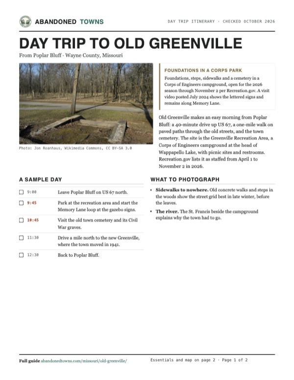
Download the PDF (665 KB)Old Greenville makes an easy morning from Poplar Bluff: a 40-minute drive up US 67, a one-mile walk on paved paths through the old streets, and the town cemetery. The site is the Greenville Recreation Area, a Corps of Engineers campground at the head of Wappapello Lake, with picnic sites and restrooms. Recreation.gov lists it as staffed from April 1 to November 2 in 2026.
A sample day
- Leave Poplar Bluff on US 67 north.
- Park at the recreation area and start the Memory Lane loop at the gazebo signs.
- Visit the old town cemetery and its Civil War graves.
- Drive a mile north to the new Greenville, where the town moved in 1941.
- Back to Poplar Bluff.
What to photograph and film
- Sidewalks to nowhere. Old concrete walks and steps in the woods show the street grid best in late winter, before the leaves.
- The river. The St. Francis beside the campground explains why the town had to go.
Map & directions
Getting there
Poplar Bluff is the nearest city with full services, 30 miles south on US 67. The new town of Greenville is a mile north of the site. From St. Louis, take I-55 south and US 67 all the way down.

Base map: USGS The National Map (public domain). Routes: OSRM on © OpenStreetMap contributors data (ODbL), computed October 2026. Times assume dry roads.
- From downtown Poplar Bluff, start west on West Pine Street (Business US 60).0.8 mi
- Turn right on North Westwood Boulevard, which becomes State Street and then Westwood Boulevard again.3.2 mi
- Continue north on US 67.25.4 mi
- Turn right, then right again into the Greenville Recreation Area.1.0 mi
- From downtown St. Louis, take South 14th Street, Chouteau Avenue (MO 100) and Truman Parkway to I-55.1.9 mi
- Follow I-55 south.32.7 mi
- Take the exit for US 67.0.3 mi
- Follow US 67 south past Greenville.87.6 mi
- Turn left, then right at the end of the road into the recreation area.1.0 mi
Road and safety notes
- Recreation.gov puts the park about a mile south of Greenville on US 67, and 29 miles north of Poplar Bluff.
- Low ground by the St. Francis River floods; an NPS photo of April 2017 shows the riverside trail under water.
- The Corps lists the area as staffed only from April 1 to November 2 in 2026. Call the Wappapello Lake office off season.
Photos
Old Greenville in photos
Visitor reports
Been to Old Greenville?
Been there lately? Tell the next visitor what you found: whether you could get in, the state of the road and what's still standing. Photos are welcome. We read every report before it appears here.
Nearby
Other sites near Old Greenville
Straight-line distance from the townsite to other mapped sites in our Missouri index.
Sources
Sources and credits
- Wikipedia, "Greenville, Missouri", retrieved October 2026: founding as county seat in 1819 and the naming, the 1826 flood, the 1832 post office, the Civil War events of 1861 and 1862, the 1893 incorporation, the 1941 move two miles north, the 1900 and 1940-era populations, the National Register listing of Old Greenville (23WE637).
- Wikipedia, "Old Greenville, Missouri", retrieved October 2026: the move in the 1940s for the dam project, buildings moved and foundations left, the NRHP listing of February 17, 1990 (90000005, 181 acres), the cemetery and Alice Curtice Moyer.
- Wikipedia, "Wayne County, Missouri", retrieved October 2026: Cedar Cabin chosen in 1818, the courthouse fires of 1854 and 1892 and the 1866 theft, the 1940 population of 572, the forced move in 1941.
- Wikipedia, "Lake Wappapello", retrieved October 2026: created in 1938 for flood control, owned by the Corps of Engineers.
- U.S. Army Corps of Engineers, Greenville Recreation Area, Recreation.gov, read October 29, 2026: the staffed and unstaffed dates, the phone numbers, the location a mile south of Greenville and 29 miles north of Poplar Bluff, the Memory Lane trail along the foundations and streets, the day-use facilities.
- National Recreation Trails, "Memory Lane", read October 2026: the one-mile paved loop, NRT designation on June 3, 2005, the interpretive signs, restrooms, leashed dogs and bikes, the overlap with the Trail of Tears National Historic Trail, and a trail ambassador's review of March 26, 2021 (uneven concrete, wet spots).
- Missouri Women, "Roadtrip: Greenville Recreation Area and Crossroads Church Cemetery", August 26, 2015: the interpretive panel on Alice Curtice Moyer Wing and her grave at Crossroads Church Cemetery.
- Happy Place Camping, "Ebiking Memory Lane - What's Left of OLD Greenville", YouTube, posted July 10, 2024: the video on this page; the lettered stops and what remains at each, and the Union Cemetery with its Confederate graves (the newest dated visit).
- ghosttowns.com, Old Greenville: the fact sheet (2WD road, remains including the courthouse mound and cemetery, climate, best time).
- National Park Service, National Trails Office, photo of April 27, 2017: the flooded waysides.
- Coordinates: USGS GNIS 737874, Old Greenville (historical). Elevation: USGS 3D Elevation Program point query. Routes: OSRM on OpenStreetMap data, October 2026.
Photo and map credits
- A foundation beside the paved path, March 2014: Jon Roanhaus, Wikimedia Commons, CC BY-SA 3.0
- Trail signs in floodwater by the St. Francis River, April 2017: National Trails Office (US National Park Service), Wikimedia Commons, Public domain
- Topo map, area base map and aerial imagery: USGS The National Map (public domain).
- Historic maps: USGS Historical Topographic Map Collection (public domain): Greenville 1934, 1:62,500; Rolla 1949, 1:250,000; Greenville SW 1966, 1:24,000; Greenville 1970, 1:62,500.