 Abandoned

Overview
Four names and one family

Shakespeare started as water in a dry country. The Army built a relay station at a spring here around 1856, and the Butterfield stage line soon stopped at what was called Mexican Springs. After the Civil War the stop became Grant, and when silver turned up in the hills it became Ralston City, after the San Francisco banker William Ralston.
The silver ran out fast. In 1872 a rumor of diamonds on Lee's Peak, west of town, drew a crowd until it was exposed as a hoax. Col. William Boyle renamed the camp Shakespeare in 1879, and it had a second run. In November 1881 the town marshal, Dan Tucker, caught the outlaws Russian Bill Tattenbaum and Sandy King, and a crowd hanged them in town. The railroad went through Lordsburg instead, the mines closed in the 1893 depression, and the last mining ended in 1929.
Frank and Rita Hill bought the town for a ranch in 1935. Their daughter Janaloo and her husband Manny Hough kept the buildings up after them, and since 2018 Manny's son-in-law Dave Ochsenbine has given the tours. The town is a National Register historic district. The 1963 Lordsburg topo sheet in the maps below shows it as a cluster of buildings beside Shakespeare Arroyo, with mines on Atwood Hill to the south.
Video
Shakespeare in 30 seconds
A stage stop, silver camp and ranch: the Stratford Hotel, the Grant House in 1976, the hotel dining room, and the town from the hill.
Timeline
From spring to ranch

- The U.S. Army builds a relay station at a spring here. The adobe building still stands.
- The spring, called Mexican Springs, becomes a stop on the Butterfield Overland stage route.
- The stop is renamed Grant, for General Ulysses S. Grant. Silver is found nearby, and the mining town is renamed Ralston City for the financier William Chapman Ralston.
- A diamond rush on Lee's Peak, west of town, turns out to be a hoax, and people leave.
- Col. William Boyle renames the town Shakespeare.
- The outlaws "Russian Bill" Tattenbaum and Sandy King are lynched in town after Marshal "Dangerous Dan" Tucker captures them. Wikipedia gives this date; their headstone, as quoted by the Albuquerque Journal, reads Jan. 1, 1881.
- The Southern Pacific Railroad builds through Lordsburg and bypasses Shakespeare.
- A national depression closes the mines.
- Wikipedia dates the town's final abandonment to the closing of its mines this year.
- Frank and Rita Hill buy the town and the land around it for a ranch.
- Listed on the New Mexico State Register of Cultural Properties.
- Listed on the National Register of Historic Places as a historic district.
- Fire destroys the General Merchandise building.
- Dave Ochsenbine, son-in-law of Manny Hough, moves from Ohio to look after the town and give tours.
Legend and record
Diamonds and a double hanging
Two stories follow Shakespeare. The first is the diamond rush. As the Albuquerque Journal told it in 2024, a rumor spread that diamonds were hidden in a cigar box planted in ant beds on Lee's Peak, west of town. When the diamonds proved a hoax in 1872, people left. Treat the cigar box as part of the story rather than the record.
The second is on firmer ground. In 1881 Russian Bill Tattenbaum and Sandy King, once part of the Clanton crowd around Charleston in Arizona, were lynched in Shakespeare after Marshal Dan Tucker captured them. The accounts differ on the details. Wikipedia gives the date as November 9, 1881, and says the bodies hung for several days. Their headstone reads January 1, 1881, and the tour guide told the Albuquerque Journal they were left for hours. The guide also says they were hanged at the Grant House.
The Stratford Hotel has its own tale: that Billy the Kid washed dishes there after breaking out of jail in Silver City. The Albuquerque Journal repeated it in 2024 as something he reportedly did. We haven't found a record that confirms it.
What's left
What you'll see


The guided tour goes inside eight buildings, according to the official site. The buildings still standing include the Grant House, a former stage station and dining room, with the town's only surviving saloon attached to it; the Stratford Hotel; the adobe relay station of about 1856, with reproduction pieces from the 1850s inside; a blacksmith shop; the restored assay office; and Janaloo Hill's dance studio. Rock foundations mark where other buildings stood. The General Merchandise building burned in 1997.
- Stratford Hotel
- Grant House
- 1850s adobe relay station
- Assay office (restored)
- Blacksmith shop
- Janaloo's dance studio


Historic maps
Shakespeare on USGS maps, 1954–1981
Crops from the USGS Historical Topographic Map Collection, centered on the townsite. Each sheet shows what surveyors mapped that year; compare them with today's topo and aerial on this page.

Day trip
Plan a day trip to Shakespeare from Lordsburg
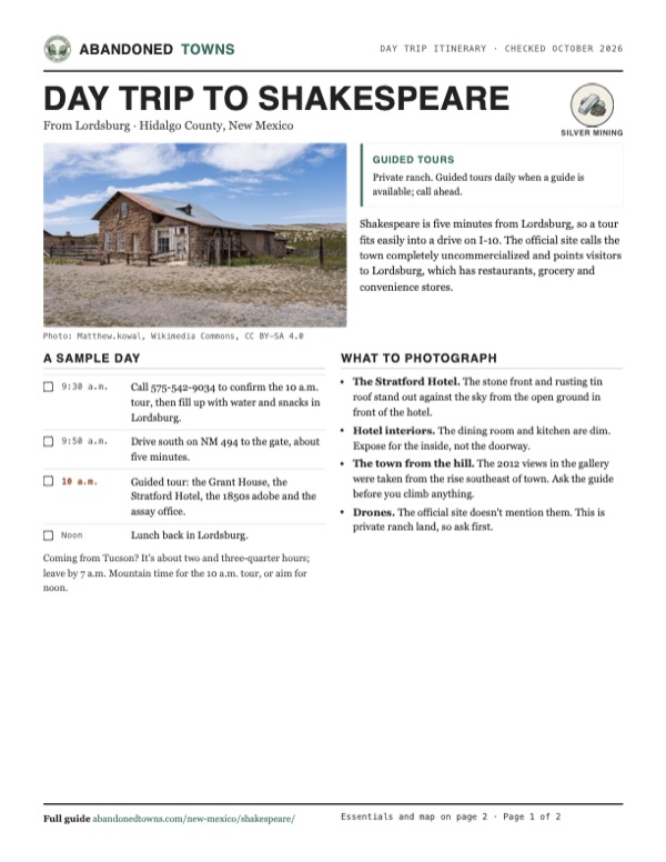
Take it with you
Day trip itinerary
The essentials, the sample day with boxes to tick, what to photograph and the coordinates, on two printable pages. Handy where there's no signal.
Download the PDF (538 KB)Shakespeare is five minutes from Lordsburg, so a tour fits easily into a drive on I-10. The official site calls the town completely uncommercialized and points visitors to Lordsburg, which has restaurants, grocery and convenience stores.
A sample day
- Call 575-542-9034 to confirm the 10 a.m. tour, then fill up with water and snacks in Lordsburg.
- Drive south on NM 494 to the gate, about five minutes.
- Guided tour: the Grant House, the Stratford Hotel, the 1850s adobe and the assay office.
- Lunch back in Lordsburg.
Coming from Tucson? It's about two and three-quarter hours; leave by 7 a.m. Mountain time for the 10 a.m. tour, or aim for noon.
What to photograph and film
- The Stratford Hotel. The stone front and rusting tin roof stand out against the sky from the open ground in front of the hotel.
- Hotel interiors. The dining room and kitchen are dim. Expose for the inside, not the doorway.
- The town from the hill. The 2012 views in the gallery were taken from the rise southeast of town. Ask the guide before you climb anything.
- Drones. The official site doesn't mention them. This is private ranch land, so ask first.
Map & directions
Getting there
Lordsburg is the closest town, five minutes away. From I-10, take the Main Street exit in Lordsburg (exit 22, per the official site) and head south on Main Street, which becomes NM 494. Bear right on Water Tank Road to the gate, about 2.5 miles in all.


Base map: USGS The National Map (public domain). Routes: OSRM on © OpenStreetMap contributors data (ODbL), computed October 2026. Times assume dry roads.
- Leave central Lordsburg on US 70 and follow it to Main Street.0.3 mi
- Go south on Main Street, which becomes NM 494.1.7 mi
- Bear right onto Water Tank Road to the Shakespeare gate.0.4 mi
- From downtown Tucson, take West Congress Street to I-10 and head east.2.3 mi
- Follow I-10 east past Benson and over Steins Pass into New Mexico.153.5 mi
- Take the Lordsburg exit and turn right onto Main Street, NM 494.1.4 mi
- Bear right onto Water Tank Road to the Shakespeare gate.0.4 mi
Road and safety notes
- An undated listing rates the road 2WD. The route follows NM 494, then Water Tank Road for the last 0.4 mile to the gate.
- The official site warns of severe dust storms on I-10. Check nmroads.com before you go.
- This is a private ranch. Enter only with a guide, and call ahead to make sure one is available.
Photos
Shakespeare in photos
Visitor reports
Been to Shakespeare?
Been there lately? Tell the next visitor what you found: whether you could get in, the state of the road and what's still standing. Photos are welcome. We read every report before it appears here.
Silver mining
More silver mining ghost towns
The nearest in New Mexico.

 Guide
Lake Valley
32.72, -107.57Sierra County, New Mexico
A silver town made famous by the Bridal Chamber, a cave of nearly pure silver. The 1893 crash and an 1895 fire ended the boom, manganese kept a few…
 Guide
Mogollon
33.40, -108.79Catron County, New Mexico
A gold and silver camp of about 2,000 people in 1909, strung along a narrow canyon in the Gila country. A few caretakers live there, and a cafe, a…
Nearby
Other sites near Shakespeare
Straight-line distance from the townsite to other mapped sites in our New Mexico index.
- Steins16.1 mi SW · Hidalgo
- Separ20.4 mi SE · Grant
- Playas30.9 mi SE · Hidalgo
- Old Hachita33.6 mi SE · Grant
- Tyrone36.7 mi NE · Grant
- Hachita37.3 mi SE · Grant
- Gage38.7 mi E · Luna
- Faywood Hot Springs46.3 mi E · Grant
Sources
Sources and credits
- ghosttowns.com, "Shakespeare": fact sheet fields (road, climate, best time, remains).
- Wikipedia, "Shakespeare, New Mexico", retrieved October 2026: earlier names, Butterfield station, 1881 lynching and the bodies left hanging, 1929 abandonment, private ranch, state and National Register listings.
- Albuquerque Journal, "‘Time will tell that tale’," October 30, 2024: the Hill family since 1935, Dave Ochsenbine, buildings, the saloon at the Grant House, relay station date, diamond hoax, renaming in 1879, railroad bypass, 1893 depression, 1997 fire, peak population, the headstone date, three daily tours.
- Shakespeare Ghost Town, official site, "Tours & Events", "Location" and "Facilities", October 2026: daily tour times, prices, guided-only rule, phone and calling from the gate, eight buildings, exit 22 and NM 494, dust storms, "completely uncommercialized," Lordsburg services.
- Elevation: USGS 3D Elevation Program point query. Routes: OSRM on OpenStreetMap data, October 2026.
Photo and map credits
- Shakespeare from the southeast, 2012: Ammodramus, Wikimedia Commons, CC0
- The Stratford Hotel, 2023: Matthew.kowal, Wikimedia Commons, CC BY-SA 4.0
- The hotel dining room: Matthew.kowal, Wikimedia Commons, CC BY-SA 4.0
- The hotel kitchen: Matthew.kowal, Wikimedia Commons, CC BY-SA 4.0
- The Grant House and the saloon beside it, 1976: Perry E. Borchers, Wikimedia Commons, Public domain
- A white frame house at the entrance gate, 2012: Ammodramus, Wikimedia Commons, CC0
- Corrals and stone buildings, from the hill southeast of town, 2012: Ammodramus, Wikimedia Commons, CC0
- Area base map, topo and aerial imagery: USGS The National Map (public domain).
- Historic maps: USGS Historical Topographic Map Collection (public domain): Silver City 1954, 1:250,000; Lordsburg 1963, 1:24,000; Lordsburg 1981, 1:100,000.