 Abandoned

Overview
Gold rockers, a flume and a highway

Rockerville began in 1876, during the Black Hills gold rush. The state historical marker credits William Keeler, who was taking a string of burros from Sheridan to Rapid City and bedded down where Captain Jack's Gulch leads south. In the marker's words, his bed proved to be a gold mine. There was gold but little water. The marker pictures a miner working a small rocker with a barrel of water used over and over, and Wikipedia says the camp was named for the rockers.
In 1880 a ditch and flume from Spring Creek finally brought water to the claims. Sources disagree on its length: the marker says 14 miles, the regional tourism association about 20. The association also says the flume ran until 1885 and helped miners recover over $20 million in gold. We could not find a primary figure to check that against. Grabill's 1889 photographs show the diggings still being worked.
In the 1950s and 1960s Rockerville lived again on traffic to Mount Rushmore. It had a melodrama theater, a mock ghost town of shops, a miniatures museum, a motel and campgrounds. When US 16 became four lanes in the mid-1960s, the carriageways were split around the old town. Exits kept visitors coming for a while, but by the 1990s the tourist trade had died. Wikipedia says the damage a bypass does to a town is sometimes called "Rockerville Syndrome" in South Dakota.
Timeline
Placer camp to roadside stop

- Gold is found here during the Black Hills gold rush. The state marker credits William Keeler, who was taking burros from Sheridan to Rapid City and bedded down where Captain Jack's Gulch leads south. "His bed proved to be a gold mine."
- Water is scarce. The marker pictures a miner with a barrel of water, used over and over, and a small rocker to wash the gravel. The camp is named for the rockers.
- A ditch and flume from Spring Creek brings water to the placer claims. The marker gives its length as 14 miles; the regional tourism association says about 20.
- The flume stops running, by the tourism association's account.
- John C. H. Grabill photographs placer and hydraulic mining at Rockerville.
- A state historical marker goes up. The state's list placed it on Main Street in 1988.
- Rockerville becomes a roadside stop on US 16 to Mount Rushmore, with a melodrama theater, a mock ghost town of shops and a miniatures museum.
- US 16 is widened to four lanes. The two carriageways split around the old townsite, leaving it in the median.
- Traffic passes by and the tourist businesses close. Most of the old buildings decay and are torn down.
What's left
What you'll see
Wikipedia describes the old townsite as a doughnut: homes, subdivisions and a sawmill have grown up around it, while most of the tourist-era buildings have closed, decayed and been torn down. It mentions a group of log cabins still standing and the Gaslight Saloon, rebuilt after a fire. We could not confirm their current state. A commercial strip about a mile east is called East Rockerville.
The best surviving trace of the mining camp is the flume line. The Flume Trail, a National Recreation Trail, follows the old bed west toward Sheridan Lake, and parts of the flume still lie along it.
- State historical marker (1955; on Main Street as of 1988)
- Log cabins
- Gaslight Saloon
- Flume bed and remnants on the Flume Trail


Historic maps
Rockerville on USGS maps, 1894–1977
Crops from the USGS Historical Topographic Map Collection, centered on the townsite. Each sheet shows what surveyors mapped that year; compare them with today's topo and aerial on this page.

Day trip
Plan a day trip to Rockerville from Keystone
Take it with you
Day trip itinerary
The essentials, the sample day with boxes to tick, what to photograph and the coordinates, on two printable pages. Handy where there's no signal.
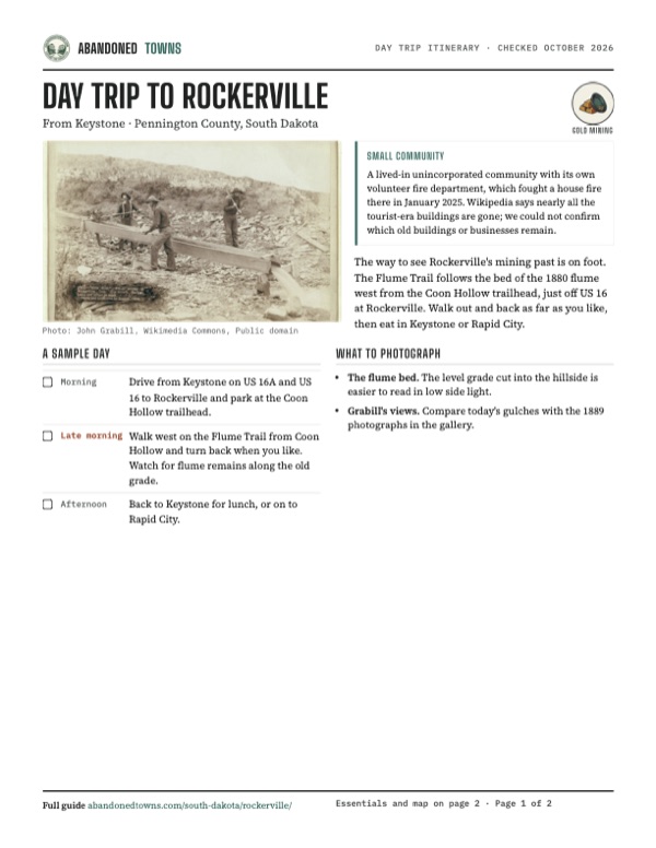
Download the PDF (470 KB)The way to see Rockerville's mining past is on foot. The Flume Trail follows the bed of the 1880 flume west from the Coon Hollow trailhead, just off US 16 at Rockerville. Walk out and back as far as you like, then eat in Keystone or Rapid City.
A sample day
- Drive from Keystone on US 16A and US 16 to Rockerville and park at the Coon Hollow trailhead.
- Walk west on the Flume Trail from Coon Hollow and turn back when you like. Watch for flume remains along the old grade.
- Back to Keystone for lunch, or on to Rapid City.
What to photograph and film
- The flume bed. The level grade cut into the hillside is easier to read in low side light.
- Grabill's views. Compare today's gulches with the 1889 photographs in the gallery.
Map & directions
Getting there
Rockerville is just off US 16, the main road from Rapid City to Keystone and Mount Rushmore. From Keystone it's a short run east; from Rapid City, head south out of town on Mount Rushmore Road.


Base map: USGS The National Map (public domain). Routes: OSRM on © OpenStreetMap contributors data (ODbL), computed October 2026. Times assume dry roads.
- From Keystone, follow SD 40 (1st Street, then Reed Street) to US 16A.0.4 mi
- Turn right on US 16A and keep right where it forks.2.6 mi
- Merge onto US 16 northeast toward Rapid City.5.1 mi
- Turn left on South Rockerville Road to Main Street.0.1 mi
- From downtown Rapid City, take Mount Rushmore Road (US 16) south.5.7 mi
- Continue on US 16 southwest.6.7 mi
- Take the ramp on the left and turn right on Main Street.0.2 mi
Road and safety notes
- All routes are paved.
- The Flume Trail's eastern end is the Coon Hollow Trailhead. The Forest Service says to exit US 16 at Rockerville onto Silver Mountain Road and go 0.2 miles. Its western end is the Calumet Trailhead near Sheridan Lake.
Photos
Rockerville in photos
Visitor reports
Been to Rockerville?
Been there lately? Tell the next visitor what you found: whether you could get in, the state of the road and what's still standing. Photos are welcome. We read every report before it appears here.
Gold mining
More gold mining ghost towns
The nearest in South Dakota.

 Guide
Rochford
44.12, -103.72Pennington County, South Dakota
A gold camp that held about 500 people in 1878 and fewer than 50 by 1900. A few residents and the Moonshine Gulch Saloon keep it going on Black Hills…
 Guide
Terry
44.33, -103.82Lawrence County, South Dakota
A gold-mining town of nearly 1,200 people below Terry Peak, where Calamity Jane died in 1903. SDPB reported in 2018 that the townsite is private land…
Nearby
Other sites near Rockerville
Straight-line distance from the townsite to other mapped sites in our South Dakota index.
- Sheridan5.7 mi W · Pennington
- Etta6.1 mi SW · Pennington
- Teddy Bear7.4 mi W · Pennington
- Bismuth7.7 mi S · Custer
- Spokane8.1 mi S · Custer
- Addie Camp8.6 mi W · Pennington
- Pactola10.1 mi NW · Pennington
- Hill City10.6 mi W · Pennington
Sources
Sources and credits
- Wikipedia, "Rockerville, South Dakota", retrieved October 2026: the 1876 founding, the name, the tourist era, the US 16 widening, decline, remaining buildings, East Rockerville.
- South Dakota historical marker 67, "Rockerville" (1955), text transcribed from State Historical Society records: William Keeler and Captain Jack's Gulch, the barrel and rocker, the 1880 14-mile ditch from Spring Creek, the 1988 Main Street location.
- Black Hills & Badlands Tourism Association, "Flume Trail", read October 2026: trail distances, the 20-mile flume, 1885, the $20 million figure, artifacts, National Recreation Trail.
- USDA Forest Service, Black Hills National Forest, "Coon Hollow Trailhead", last updated February 2, 2026: directions, day-use hours, no fee, no restroom or drinking water.
- Rapid City Post, "Fire destroys Rockerville area home," January 7, 2025: a lived-in community with its own fire department.
- ghosttowns.com, "Rockerville": fact-sheet fields (best time).
- Photographs: John C. H. Grabill, 1889, Library of Congress via Wikimedia Commons (public domain).
- Elevation: USGS 3D Elevation Program point query. Routes: OSRM on OpenStreetMap data, October 2026.
Photo and map credits
- Hydraulic mining, 1889: John Grabill, Wikimedia Commons, Public domain
- Placer mining, 1889: John Grabill, Wikimedia Commons, Public domain
- Washing and panning gold, 1889: John Grabill, Wikimedia Commons, Public domain
- Topo map, area base map and aerial imagery: USGS The National Map (public domain).
- Historic maps: USGS Historical Topographic Map Collection (public domain): Hermosa 1894, 1:125,000; Hermosa 1901, 1:125,000; Rockerville 1954, 1:24,000; Mount Rushmore 1977, 1:100,000.