 Abandoned

Overview
The night the mill town burned
Thomas and Fred Williamson came from Canada in the late 1860s and settled in the woods of southern Door County. In 1870 they built a steam shingle mill on the Ahnapee River, and a small company village grew around it: a store, a barn, a boarding house, a blacksmith shop and eight houses. By the fall of 1871 about 77 people lived there, most of them family or mill hands.
On October 8, 1871, the same night the Peshtigo Fire burned across the bay, a firestorm swept through southern Door County. Many of the people of Williamsonville died in a potato field at the edge of town. Seven men climbed down the town well; five of them came out alive. Only Thomas Williamson and his mother survived from the family. Counts of the dead differ. Wikipedia gives 35 in the field, two later suicides and 17 survivors. The county says 19 of 76 lived, and the old marker in the park says 60 died in the field.
No one rebuilt. An 1878 map simply called the spot Tornado. Steven Dutch notes the name is a misnomer, though the firestorm did raise whirling winds. In 1927 Door County bought the triangle of land around the well and made it the first park in its system. Wikipedia notes that the fire cleared so much timber that the county's economy turned from lumber to farming.
Timeline
Mill, fire and memorial
- Brothers Thomas and Fred Williamson come from Canada and settle beside the Ahnapee River. The place is also called Williamson's Mill.
- They build a steam-powered shingle mill by the river. A general store, a barn, a boarding house, a blacksmith shop and eight houses grow around it.
- Wikipedia counts 77 residents, most of them Williamsons or mill hands. A 1995 state transportation report cited by the county counts 76, among them 15 women and 16 children.
- A firestorm sweeps southern Door County on the same day as the Peshtigo Fire. The county says it killed 128 people there. Williamsonville burns to the ground.
- Wikipedia says 35 people died in a potato field and two badly burned men took their own lives; 17 lived. The county says 19 of 76 lived. The park marker says 60 died in an open field. Of the seven men who climbed into the town well, five lived.
- The town is never rebuilt. A county map of 1878 labels the site Tornado.
- Door County buys the land from Albert and Elinda Eickelberg. Tornado Memorial is the first park in the county system. The park's own marker, as transcribed in 1999, says the county established it in November 1937.
- The state uses the park as a highway wayside on Wisconsin 57; Wikipedia gives 1950 to 2008. The wayside ends with the widening of Highway 57 in 2008, and the county parks department takes over.
- A three-acre county park with the well, its memorial, plaques, a historical marker and a picnic area.
What's left
What you'll see
Nothing of the village survives above ground. The park is a quiet triangle of about three acres with shade trees, a picnic area with grills, parking and restrooms. The town well is still there with a wooden memorial to the men who hid in it, and two bronze plaques honor the dead. Steven Dutch's 1999 page transcribes the markers: one dedicates the park to the pioneers, the other gives the village's 77 people and its 60 dead.
On the 1961 USGS sheet below the park is marked beside Highway 57 where it crossed the Ahnapee River, with the Tornado school to the southwest and the Geise cemetery to the northeast. The highway has since been rebuilt as a four-lane road to the south; the park sits on the old alignment, now County DK.
- The town well and its wooden memorial
- Two bronze plaques to the dead
- Historical marker
- Picnic area in the shade


Historic maps
Williamsonville on USGS maps, 1954–1961
Crops from the USGS Historical Topographic Map Collection, centered on the townsite. Each sheet shows what surveyors mapped that year; compare them with today's topo and aerial on this page.

Day trip
Plan a day trip to Williamsonville from Sturgeon Bay
Take it with you
Day trip itinerary
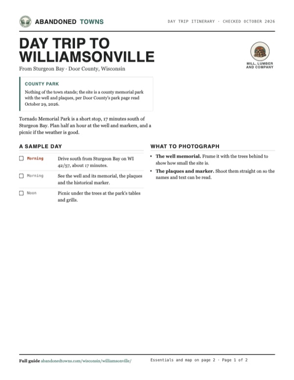
The essentials, the sample day with boxes to tick, what to photograph and the coordinates, on two printable pages. Handy where there's no signal.
Download the PDF (410 KB)Tornado Memorial Park is a short stop, 17 minutes south of Sturgeon Bay. Plan half an hour at the well and markers, and a picnic if the weather is good.
A sample day
- Drive south from Sturgeon Bay on WI 42/57, about 17 minutes.
- See the well and its memorial, the plaques and the historical marker.
- Picnic under the trees at the park's tables and grills.
What to photograph and film
- The well memorial. Frame it with the trees behind to show how small the site is.
- The plaques and marker. Shoot them straight on so the names and text can be read.
Map & directions
Getting there
Sturgeon Bay is the closest city, about 17 minutes north on Wisconsin 42/57. From Green Bay the drive runs out University Avenue on Wisconsin 54/57, about 42 minutes.


Base map: USGS The National Map (public domain). Routes: OSRM on © OpenStreetMap contributors data (ODbL), computed October 2026. Times assume dry roads.
- From downtown Sturgeon Bay, turn right on Michigan Street (WI 42 Business).0.4 mi
- Continue on North Madison Avenue and Green Bay Road (WI 42 Business).1.0 mi
- Continue on WI 42/57 south.5.0 mi
- Stay on WI 57 where WI 42 leaves it.3.5 mi
- Turn right on South Stevenson Pier Road to the park.0.3 mi
- From South Jefferson Street, turn left on Doty Street and left on South Madison Street.0.3 mi
- Turn right on East Walnut Street (WI 29), then left on North Monroe Avenue.0.5 mi
- Continue on University Avenue (WI 54/57) and follow WI 57 northeast.32.9 mi
- Turn left on South Stevenson Pier Road to the park.0.3 mi
Road and safety notes
- Door County gives the park's address as 8518 County DK, about 10 miles south of Sturgeon Bay.
- The county's page lists parking for 15 cars.
Photos
Have photos of Williamsonville?
We haven’t added photographs of Williamsonville yet. If you’ve visited, share your photos and a field report below.
Visitor reports
Been to Williamsonville?
Been there lately? Tell the next visitor what you found: whether you could get in, the state of the road and what's still standing. Photos are welcome. We read every report before it appears here.
Mill, lumber and company
More mill, lumber and company ghost towns
The nearest, in other states.

 Guide
Pere Cheney
44.58, -84.64Crawford County, Michigan
A lumber and railroad town that diphtheria emptied in the 1890s and that was gone by 1917. Its cemetery, in a clearing in the pines, is all that is…
 Guide
Singapore
42.68, -86.21Allegan County, Michigan
A lumber port at the mouth of the Kalamazoo River that printed its own money and then disappeared under the sand. Nothing of the town shows today.…
Nearby
Other sites near Williamsonville
Straight-line distance from the townsite to other mapped sites in our Wisconsin index.
Sources
Sources and credits
- Wikipedia, "Williamsonville, Wisconsin", retrieved October 2026: coordinates, the Williamson brothers, the 1870 mill, 77 residents, the potato field, the suicides, 17 survivors, the well, the 1878 map name, the shift to farming, the 1927 park and the wayside from 1950 to 2008.
- Door County, "Tornado Memorial County Park", read October 29, 2026: address, three acres, the marker, picnic area, parking and restrooms, the 1927 purchase from the Eickelbergs, the wayside and its end in 2008, the village's buildings, the 1995 report's 76 residents, 128 dead in southern Door County, 19 survivors, the well and Thomas Williamson.
- Steven Dutch, "Tornado Memorial Park", University of Wisconsin-Green Bay, June 23, 1999: the marker texts (77 people, 60 dead in the field), the marker's November 1937 establishment date, the well and its five survivors, fire whirls.
- Elevation: USGS 3D Elevation Program point query. Routes: OSRM on OpenStreetMap data, October 2026.
Photo and map credits
- Area base map, topo and aerial imagery: USGS The National Map (public domain).
- Historic maps: USGS Historical Topographic Map Collection (public domain): Manitowoc 1954, 1:250,000; Little Sturgeon 1961, 1:62,500.