 Abandoned

Overview
Montana's silver queen

Granite sits at about 7,000 feet on Granite Mountain, four miles by road above Philipsburg in the Flint Creek Range. A prospector named Holland found the lode in 1872 and walked away from it. A few years later Charles McLure, who ran a mill in Philipsburg, found rich ruby silver in Holland's old shaft, raised money in St. Louis and formed the Granite Mountain Mining Company. In 1882 the miners hit the Bonanza Chute, and the company town was laid out two years later.
By 1889 Granite had about 3,000 people, a bank, a hospital, four churches, a newspaper, a three-story hotel and 18 saloons. A 100-stamp mill went up on Fred Burr Creek below the town, fed by an 8,900-foot tramway, and a railroad ran down to Philipsburg. The miners built themselves a three-story union hall in 1890.
Then in 1893 Congress repealed the Sherman Silver Purchase Act, silver fell, and the mine closed. Within about a year only 140 people were left. Mining came back from 1898 and went on and off into the 1930s, but the town never refilled. A fire in 1958 took most of the mine buildings, and the last resident, caretaker Mae Werning, died in 1969. The state now keeps the site as Granite Ghost Town State Park, a summer-only park of 0.6 acres that drew 6,878 visitors in 2023, by Wikipedia's count.
Timeline
From the Bonanza Chute to the 1893 crash
- Hector Horton makes the first silver find in the district, by the state park's account.
- A prospector named Holland (Eli Holland, to Wikipedia) finds the Granite lode in the autumn and sinks a shallow shaft, then gives it up. Legends of America dates his find to 1875; the park says the claim was relocated that year.
- Charles D. McLure, superintendent of the Hope Mill in Philipsburg, finds rich ruby silver in the old shaft and goes to St. Louis for capital. Wikipedia dates the find to 1877, Legends of America to 1880, with ore assaying 2,000 ounces a ton. The Granite Mountain Mining Company is formed.
- Miners strike the "Bonanza Chute," a lode assaying 1,700 ounces a ton. It returns about $274,000 in silver by 1883.
- The company town is laid out. Miners rent lots for $2.50 a month.
- The first dividend is paid and a 20-stamp mill is built.
- The 100-stamp Rumsey Mill on Fred Burr Creek starts work in March, tied to the mine by an 8,900-foot tramway and to Philipsburg by a 7.7-mile railroad. Granite has four churches, a newspaper, a school, a hospital, a fire station, a bank, the three-story Moore House hotel and 18 saloons.
- The three-story Miners Union Hall is built for $23,000, with a hall, union offices, a library and a lodge room.
- Congress repeals the Sherman Silver Purchase Act and the price of silver collapses. The mine shuts. Within about a year the town falls from about 3,000 people (3,200 to Legends of America) to 140, and the park says the camp lay deserted for three years.
- Mining resumes and produces about $1 million in bullion a year until 1901, then goes on and off through the 1930s.
- New investors explore the mine, and a fire destroys most of the surface buildings.
- Mae Werning, the last resident, who stayed on as caretaker, dies at 75.
- Granite Ghost Town State Park, run by Montana Fish, Wildlife & Parks, is open from Memorial Day to September 30, daylight hours only.
What's left
Union hall, superintendent's house and cabins


The park preserves two buildings by name. The Miners Union Hall is a shell now: a stone ground floor with brick walls standing above it, open to the sky, and recorded by the Historic American Buildings Survey. The stone house of the mine superintendent stood at the head of Magnolia Avenue, the street Legends of America says was called Silk Stocking Row, and it is the only home left on that block. Around them are the old bank vault, the tumbled-down hospital, a scatter of log and frame cabins, mine dumps and buildings on the hillside, and pieces of the tramway.
Nobody lives in Granite. The park page lists one amenity, pack-in, pack-out: bring what you need and carry your trash home.
The historic maps below show the town at the end of its run. The 1908 Philipsburg sheet draws a tight block of buildings labelled Granite on the slope above Fred Burr Creek, with Hasmark and Tower nearer Philipsburg and Rumsey, the mill site, down on the creek to the southwest. By the 1971 Fred Burr Lake sheet Granite is a handful of squares among "Mines" labels, at the end of the road from Philipsburg, 3.8 miles off.
- Miners Union Hall (1890), walls
- Mine superintendent's house (stone)
- Bank vault
- Hospital ruins
- Log and frame cabins
- Mine dumps and hillside mine buildings
- Tramway remnants


Historic maps
Granite on USGS maps, 1908–1971
Crops from the USGS Historical Topographic Map Collection, centered on the townsite. Each sheet shows what surveyors mapped that year; compare them with today's topo and aerial on this page.

Day trip
Plan a day trip to Granite from Philipsburg
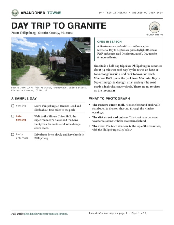
Take it with you
Day trip itinerary
The essentials, the sample day with boxes to tick, what to photograph and the coordinates, on two printable pages. Handy where there's no signal.
Download the PDF (566 KB)Granite is a half-day trip from Philipsburg in summer: about 34 minutes each way by the route, an hour or two among the ruins, and back to town for lunch. Montana FWP opens the park from Memorial Day to September 30, in daylight only, and says the road needs a high-clearance vehicle. There are no services on the mountain.
A sample day
- Leave Philipsburg on Granite Road and climb about four miles to the park.
- Walk to the Miners Union Hall, the superintendent's house and the bank vault, then the cabins and mine dumps above them.
- Drive back down slowly and have lunch in Philipsburg.
What to photograph and film
- The Miners Union Hall. Its stone base and brick walls stand open to the sky; shoot up through the window openings.
- The dirt street and cabins. The street runs between weathered cabins with the mountains behind.
- The view. The town sits close to the top of the mountain, with the Philipsburg valley below.
Map & directions
Getting there
Philipsburg is the place to start. Granite Road climbs about four miles and 1,280 feet east from town to the park. Montana FWP calls it narrow, steep and winding, says to be ready to pull over for oncoming traffic, and says a high-clearance vehicle is necessary. From Missoula the drive follows I-90 east and MT 1 south to Philipsburg.


Base map: USGS The National Map (public domain). Routes: OSRM on © OpenStreetMap contributors data (ODbL), computed October 2026. Times assume dry roads.
- Leave town on South Sansome Street, then turn left on Dearborn Street and right on South Montgomery Street.0.4 mi
- Bear left on Rosalind Road, then turn right on Spring Street.0.4 mi
- Continue straight onto Granite Road and follow it up the mountain, keeping left at the end of the road and at the fork.2.9 mi
- Bear left on Crystal Lake Road, then turn right on Broadway Street into Granite.0.4 mi
- From East Broadway Street, take Van Buren Street and the roundabout onto I-90.0.9 mi
- Follow I-90 east.47.5 mi
- Take the off-ramp and turn right on MT 1 to Philipsburg.25.9 mi
- Turn left on West Broadway Street, right on South Sansome Street, left on Dearborn Street and right on South Montgomery Street.1.2 mi
- Bear left on Rosalind Road, then turn right on Spring Street.0.4 mi
- Continue straight onto Granite Road and follow it up the mountain, keeping left at the end of the road and at the fork.2.9 mi
- Bear left on Crystal Lake Road, then turn right on Broadway Street into Granite.0.4 mi
Road and safety notes
- The routes are computed from OpenStreetMap and haven't been driven by us.
- Montana FWP: the road climbs 1,280 feet and is narrow, steep and winding; a high-clearance vehicle is necessary, and RVs and buses can't make it.
- Snow occasionally blocks the road into late May, by the park page. The park season ends September 30.
Photos
Granite in photos
Visitor reports
Been to Granite?
Been there lately? Tell the next visitor what you found: whether you could get in, the state of the road and what's still standing. Photos are welcome. We read every report before it appears here.
Silver mining
More silver mining ghost towns
The nearest in Montana, then the nearest elsewhere.

 Guide
Elkhorn
46.27, -111.95Jefferson County, Montana
A silver town of 2,500 in the 1880s, high in the Elkhorn Mountains, that diphtheria and falling silver prices emptied. Two of its halls are Montana's…
 Guide
Gilmore
44.46, -113.27Lemhi County, Idaho
A lead and silver town at the head of the Lemhi Valley that grew around the end of a Montana railroad, then emptied when the Depression closed its…
Nearby
Other sites near Granite
Straight-line distance from the townsite to other mapped sites in our Montana index.
- Southern Cross7.4 mi S · Deer Lodge
- Pioneer18.9 mi NE · Powell
- Gold Creek24.4 mi NE · Powell
- Bearmouth27.5 mi N · Granite
- Nimrod28.7 mi NW · Granite
- Silver Bow35.1 mi SE · Silver Bow
- Garnet35.4 mi N · Granite
- Coloma36.9 mi N · Missoula
Sources
Sources and credits
- Montana Fish, Wildlife & Parks, "Granite Ghost Town State Park", read October 29, 2026: season, daylight hours, snow into late May, the road and high-clearance requirement, no RVs or buses, fees, pack-in pack-out, the superintendent's house and Union Hall, Horton's 1865 find, Holland's 1872 find and the 1875 relocation, the 1893 shutdown and three deserted years, about 3,000 miners, phone.
- Wikipedia, "Granite, Montana", retrieved October 2026: coordinates and elevation, Eli Holland in 1872, McLure in 1877, more than 3,000 people and 140 a year after 1893, the park's 0.6 acres and 6,878 visitors in 2023.
- Legends of America, "Granite, Montana", updated November 2024: the 1875 and 1880 dates, assays, the Bonanza Chute, lot rents, the mills, tramway and railroad, the 1889 town and Union Hall, the 3,200-to-140 fall, 1898–1901 output, the 1958 fire, Mae Werning, Silk Stocking Row and what remains.
- ghosttowns.com, "Granite": county, the bank vault, the mountaintop setting. (Its history credits gems to the town; every other source here calls Granite a silver camp, and we follow them.)
- Photos: Wikimedia Commons, credited below. Elevation: USGS 3D Elevation Program point query. Routes: OSRM on OpenStreetMap data, October 2026. Not field-checked.
Photo and map credits
- Granite about 1895, its houses filling the slope below the mountain: Unknown author, Wikimedia Commons, Public domain
- A dirt street between weathered cabins, June 2009: JOHN LLOYD from ABERDEEN, WASHINGTON, United States, Wikimedia Commons, CC BY 2.0
- A sagging log cabin with a tin roof and fallen porch, June 2009: JOHN LLOYD from ABERDEEN, WASHINGTON, United States, Wikimedia Commons, CC BY 2.0
- The stone and brick walls of the Miners Union Hall, September 2007: Geologyguy, Wikimedia Commons, Public domain
- Plastered brick walls and an arch inside the Miners Union Hall, September 2014: Newbootgoofin, Wikimedia Commons, CC BY-SA 3.0
- Area base map, topo and aerial imagery: USGS The National Map (public domain).
- Historic maps: USGS Historical Topographic Map Collection (public domain): Philipsburg 1908, 1:125,000; Fred Burr Lake 1971, 1:24,000.