 Abandoned

Overview
Iron, then cranberries, then a lake


Atsion sits where US 206 crosses the Mullica River headwaters, eight or so miles north of Hammonton. Charles Read built a forge here in 1765 and 1766, fed with pig iron from his furnace at Batsto. A furnace of its own followed in 1774, and during the Revolution the works made camp kettles for the Continental Army.
The first boom didn't last. A fire wrecked the ironworks in 1794, and by 1823 a visiting historian called Atsion a ruin. Samuel Richards, of the family that owned Batsto, bought the property (in 1819 by the state's account, 1824 by others) and rebuilt it. He finished his mansion in 1826, and under him the village had a church, a company store and several mills. An 1834 gazetteer counted about 700 people and up to 900 tons of iron a year.
After Richards died in 1842 the iron trade faded. Later owners tried a farm colony called Fruitland, and Joseph Wharton packed cranberries in the mansion. The state bought Atsion in 1955. Today it is a quiet corner of Wharton State Forest, with the mansion, a handful of old buildings and a swimming lake.
Timeline
Two ironmasters and a farm colony

- Charles Read, an agriculturalist and industrialist from Burlington, builds a forge on the Mullica River. Pig iron comes from his new furnace downstream at Batsto.
- Read, short of money, sells out to three Philadelphia Quakers: Henry Drinker, Abel James and Lawrence Saltar.
- The new owners build a furnace, so Atsion no longer depends on Batsto for iron.
- The forge makes camp kettles for the Continental Army and iron for the Pennsylvania Navy. Wikipedia counts 170 kettles.
- A post office opens. It moves away to Sooy's Inn in 1815, a sign of decline.
- The historian John Fanning Watson describes the works as ruins.
- Samuel Richards, a Philadelphia ironmaster whose family owns Batsto, buys Atsion, by the account of Wikipedia and the historical marker at the site, and rebuilds the works. NJ State Parks dates his purchase to 1819 and the restarted furnace to 1824.
- Richards builds his Greek Revival mansion as a summer home. Under him the village has a church, sawmills, a company store, a furnace, a forge and a gristmill. An 1834 gazetteer, quoted by Wikipedia, counts up to 900 tons of iron a year, 100 workers and 700 residents.
- Richards dies. The property passes to his heirs.
- Colonel William Patterson buys Atsion and tries to remake it as a farm colony called Fruitland.
- Maurice Raleigh buys it and restores the name Atsion. His family are the last to live in the mansion.
- Joseph Wharton buys the property and uses the mansion to pack and store cranberries.
- The State of New Jersey acquires Atsion as part of the Wharton lands.
- The Atsion Village historic district, 703 acres with seven contributing buildings, is listed on the National Register.
What's left
The mansion and the village


The mansion is the centerpiece. NJ State Parks has restored it to its 1826 look and calls it one of the state's best examples of vernacular Greek Revival. It was never given plumbing or electricity, and its porch columns are reused iron water pipes. The district around it counts seven contributing buildings. An undated listing calls the 1827 company store a ranger station and adds a poured-concrete horse barn, a cotton mill, the school, a few houses and a church. Wharton later turned the cotton mill and the mansion into cranberry packing houses.
The 1890 USGS sheet shows Atsion where several rail lines meet at the outlet of its lake. By 1953 the sheet shows US 206 running through the village, a cemetery to the east and Atsion Lake to the west. The state's marker says the forges, mills and workers are gone.
- Samuel Richards Mansion (1826)
- Company store (1827)
- Church
- School
- Concrete horse barn
- Cotton mill
- Workers' houses
- Atsion Lake


Historic maps
Atsion on USGS maps, 1890–1953
Crops from the USGS Historical Topographic Map Collection, centered on the townsite. Each sheet shows what surveyors mapped that year; compare them with today's topo and aerial on this page.
Day trip
Plan a day trip to Atsion from Hammonton
Take it with you
Day trip itinerary
The essentials, the sample day with boxes to tick, what to photograph and the coordinates, on two printable pages. Handy where there's no signal.
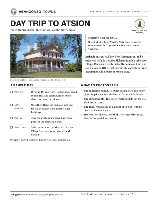
Download the PDF (621 KB)Atsion is an easy half day from Hammonton, and it pairs well with Batsto, the Richards family's other iron village. Come on a weekend for the mansion tour, and call the Atsion Office that morning to check tour times. In summer, add a swim in Atsion Lake.
A sample day
- Drive up US 206 from Hammonton, about 10 minutes, and call the Atsion Office about the day's tour times.
- Walk the village: the mansion grounds, the old company store and the other buildings.
- Take the weekend mansion tour, then picnic at the recreation area.
- Swim in summer, or drive on to Batsto Village for its mansion, sawmill and museum.
Coming from Philadelphia? The drive is about 50 minutes.
What to photograph and film
- The mansion porch. Its Doric columns are iron water pipes. Step back across the lawn to fit the whole facade.
- The downspouts. The state's marker points out the date 1826 cast on them.
- The lake. Atsion Lake is just west of US 206, with its beach on the south shore.
- Drones. Not allowed over the historic site without a NJ State Parks special use permit.
Map & directions
Getting there
Hammonton is the closest town, about 10 minutes south on US 206. From Philadelphia, the route crosses the Delaware into New Jersey, follows NJ 70 east and then county roads to US 206.


Base map: USGS The National Map (public domain). Routes: OSRM on © OpenStreetMap contributors data (ODbL), computed October 2026. Times assume dry roads.
- From downtown Hammonton, follow Bellevue Avenue (NJ 54) north.1.1 mi
- Continue straight onto US 206 (Trenton Road) north to Atsion.7.4 mi
- From City Hall, take Broad Street and Race Street onto the bridge to New Jersey.2.9 mi
- Follow Admiral Wilson Boulevard (US 30), then NJ 38 and Marlton Pike (NJ 70) east.11.6 mi
- Turn right on North Locust Avenue, then left on CR 620 (Main Street, then Tuckerton Road).8.5 mi
- Bear right on Stokes Road (CR 541), then turn right on US 206 to Atsion.7.1 mi
Road and safety notes
- US 206 runs through the village. Many forest roads beyond it are sand; an undated listing warns some need four-wheel drive when soft.
- Only roads on the state's Visiting Vehicle Use Map are legal to drive in Wharton State Forest, at up to 20 mph. ATVs are banned.
- There are no trash cans in the forest. Carry out what you bring.
- The state advises repellent and tick checks after a visit.
Photos
Atsion in photos
Visitor reports
Been to Atsion?
Been there lately? Tell the next visitor what you found: whether you could get in, the state of the road and what's still standing. Photos are welcome. We read every report before it appears here.
Other mining and oil
More lead, iron, mercury and oil ghost towns
The nearest in New Jersey.

 Guide
Batsto Village
39.64, -74.65Burlington County, New Jersey
An iron town that cast cannonballs for Washington's army, then made glass, then became Joseph Wharton's country estate. The state keeps it as it…
 Guide
Allaire Village
40.16, -74.13Monmouth County, New Jersey
James P. Allaire's Howell Works smelted bog iron here for his New York steam engine shops, then went cold in the 1840s. Thirteen of its buildings…
Nearby
Other sites near Atsion
Straight-line distance from the townsite to other mapped sites in our New Jersey index.
- Hampton Furnace3.1 mi NE · Burlington
- High Crossing4.7 mi NE · Burlington
- Pleasant Mills7.9 mi SE · Atlantic
- Batsto Village8.1 mi SE · Burlington
- Eagle8.6 mi E · Burlington
- Washington8.9 mi SE · Burlington
- Martha12.2 mi E · Burlington
- Harrisville12.2 mi SE · Burlington
Sources
Sources and credits
- ghosttowns.com, "Atsion": fact sheet fields (roads, climate, best time, remains).
- Wikipedia, "Atsion, New Jersey", retrieved October 2026: owners and dates, Revolutionary output, post office, Richards-era production and population, historic district.
- NJ State Parks, "Atsion Mansion Historic Site" (page updated April 28, 2026; read from the Internet Archive copy of July 27, 2026, because the live site blocks automated readers): history including the 1819 purchase and 1824 furnace, the iron-pipe columns, grounds and office hours, no entrance fee, weekend tours, tour length and prices, phone, address, rules on photography, drones and metal detectors.
- NJ State Parks, "Atsion Recreation Area" (updated April 24, 2026; Internet Archive copy of June 18, 2026): summer vehicle fees, beach complex and concession, swimming rules, Red and Blue trails, pets.
- NJ State Parks, "Wharton State Forest" (updated May 28, 2026; Internet Archive copy of June 18, 2026): history after 1842, the 1955 purchase, vehicle rules, trash, ticks, special use permits.
- Historical Marker Database, "The Story of Atsion" and "Atsion Mansion": marker texts by the state, the Pinelands Commission and the National Park Service on the Richards village and the 1826 downspouts.
- Elevation: USGS 3D Elevation Program point query. Routes: OSRM on OpenStreetMap data, October 2026.
Photo and map credits
- The Samuel Richards Mansion and its columned porch, 2012: Decifix, Wikimedia Commons, CC BY-SA 4.0
- The mansion's gable end and entry porch, 2023: Decifix, Wikimedia Commons, CC BY-SA 4.0
- The mansion, a walk and an interpretive sign, 2013: JERRYE AND ROY KLOTZ MD, Wikimedia Commons, CC BY-SA 3.0
- Atsion on the 1890 USGS sheet: U.S. Geological Survey, USGS catalog, Public domain
- Atsion Lake looking northwest toward the beach and bathhouse, September 2024: Famartin, Wikimedia Commons, CC BY-SA 4.0
- The mansion's double parlor (undated): Decifix, Wikimedia Commons, CC BY-SA 4.0
- Area base map, topo and aerial imagery: USGS The National Map (public domain).
- Historic maps: USGS Historical Topographic Map Collection (public domain): Mullica 1890, 1:62,500; Mullica 1919, 1:62,500; Egg Harbor 1942, 1:62,500; Atsion 1953, 1:24,000.