 Abandoned

Overview
Cedar, then cranberries
Double Trouble Village sits on Cedar Creek at the eastern edge of the Pine Barrens, a few miles south of Toms River. The creek's clear, tea-colored water powered sawmills here from the 1700s, and its cedar swamps supplied the logs. Through most of the 1800s the Giberson family owned the tract and cut shingles, laths and ship timbers. As the swamps were logged out, the cleared ground turned out to be good for cranberries, and the first bogs went in during the 1860s.
Edward Crabbe bought the land in 1904 and in 1909 formed the Double Trouble Company to sell lumber, blueberries and cranberries. By the 20th century it was one of the largest cranberry growers in the state. Like other Pine Barrens company towns, the village depended entirely on that one business. The village had pickers' cottages, a bunk house, a cook house and a one-room school, and in the 1916 packing house women sat along a conveyor picking out green berries, twigs and leaves.
The company dissolved in 1964 and the state bought the land for a park. The village survived intact. Its sawmill and packing house were restored in the 1990s, and NJ State Parks now calls the place a Pine Barrens "ghost town."
Timeline
Sawmills, bogs and a company

- A survey shows a mill on Cedar Creek. The land had belonged to Antony Sharp, an Irish Quaker merchant and East Jersey proprietor who never saw it.
- The name Double Trouble is already in use.
- Captain William Giberson and his sons own much of the tract and log it. Their water-powered sawmills cut cedar shingles, laths and ship timbers.
- The first cranberry bogs are planted in the cleared cedar swamps. The 1977 nomination, citing an 1866 newspaper, describes two water-powered sawmills and a settlement "employing 2500 people."
- Edward Crabbe buys the Giberson tract and keeps the old sawmill running.
- The mill burns and a new one with circular saws and a one-cylinder gasoline engine replaces it. Crabbe forms the Double Trouble Company to sell lumber, blueberries and cranberries.
- The cranberry sorting and packing house is built. Hayden separators are installed in 1929.
- The company dissolves and the state buys the property for a park. The bogs are leased to a farmer and cultivation goes on.
- Cultivation stops, by the 1977 nomination's account, "for reasons which are controversial and still unclear."
- The Double Trouble Historic District is listed on the state register (1977) and the National Register (February 23, 1978).
- The sawmill is restored, then the sorting and packing house.
- NJ State Parks dates the end of the cranberry industry at Double Trouble to the early 21st century. The two sources don't explain the gap between 1973 and this date.
What's left
A whole company town

The state describes a complete company town. The sawmill and the cranberry sorting and packing house were the center of work, and both keep nearly intact equipment. The 1977 National Register nomination singled out the sorting machinery, "with its belts, gears, wheels and housing," as unusually well preserved. Around them stand a late-19th-century one-room schoolhouse, the general store, a bunk house, cook house, shower house, maintenance shop, pickers' cottages and the foreman's house. Wikipedia counts 14 restored structures. The nomination says the mill that burned in 1909 was replaced by one with circular saws driven by a one-cylinder gasoline engine.
The historic district covers the village and its bogs: about 200 acres by Wikipedia's figure, 205 by the state's. The 1888 USGS sheet shows Double Trouble at a crossroads beside its mill pond. By 1953 the sheet shows cranberry bogs laid out on both sides of the village, with floodgates on Cedar Creek. The packing house loading dock is posted Keep Off.
- Sawmill, restored 1995
- Cranberry sorting and packing house (1916), restored 1996
- One-room schoolhouse
- General store
- Bunk house, cook house and shower house
- Pickers' cottages and the foreman's house
- Old cranberry bogs and reservoirs


Legend
Trouble, twice

Nobody knows for sure where the name came from, and the state gives two stories. In the first, Thomas Potter named the place in the 1770s after heavy rains broke the mill pond's earthen dam twice in one season. The second is a legend: beavers or muskrats kept gnawing at the dam, and when workers found two leaks at once, someone shouted "Here's double trouble." Wikipedia tells the muskrat version, with two breaks in one week. All we can say is that the name was in use by the late 1700s.
Historic maps
Double Trouble Village on USGS maps, 1888–1995
Crops from the USGS Historical Topographic Map Collection, centered on the townsite. Each sheet shows what surveyors mapped that year; compare them with today's topo and aerial on this page.

Day trip
Plan a day trip to Double Trouble Village from Toms River
Take it with you
Day trip itinerary
The essentials, the sample day with boxes to tick, what to photograph and the coordinates, on two printable pages. Handy where there's no signal.
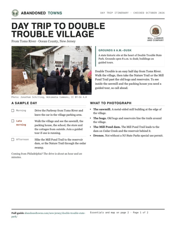
Download the PDF (529 KB)Double Trouble is an easy half day from Toms River. Walk the village, then take the Nature Trail or the Mill Pond Trail past the old bogs and reservoirs. To see inside the sawmill and the packing house you need a guided tour, so call ahead.
A sample day
- Drive the Parkway from Toms River and leave the car in the village parking area.
- Walk the village and see the sawmill, the packing house, the school, the store and the cottages from outside. Join a guided tour if one is running.
- Hike the Mill Pond Trail to the reservoir dam, or the Nature Trail through the cedar swamp.
Coming from Philadelphia? The drive is about an hour and 20 minutes.
What to photograph and film
- The sawmill. A metal-sided mill building at the edge of the village.
- The bogs. Old bogs and reservoirs line the trails around the village.
- The Mill Pond dam. The Mill Pond Trail leads to the dam on Cedar Creek and the reservoir behind it.
- Drones. Not without a NJ State Parks special use permit.
Map & directions
Getting there
Toms River is the closest town, a short drive north by the Garden State Parkway. From Philadelphia the route crosses the Delaware and follows NJ 70 east across the Pine Barrens, then county roads to the village.

Base map: USGS The National Map (public domain). Routes: OSRM on © OpenStreetMap contributors data (ODbL), computed October 2026. Times assume dry roads.
- From downtown Toms River, take Main Street (NJ 166), Water Street and Lakehurst Road (CR 527) to the Garden State Parkway.1.1 mi
- Follow the Garden State Parkway south.3.2 mi
- Leave at exit 77 and turn left on Double Trouble Road (CR 619) to the village.1.0 mi
- From City Hall, take Broad Street and Race Street onto the bridge to New Jersey.2.8 mi
- Follow Admiral Wilson Boulevard (US 30), NJ 38 and Marlton Pike (NJ 70) east, through the Four Mile Circle, to CR 530.41.1 mi
- Turn right onto CR 530 and follow the county roads east to Double Trouble Road and the village.10.5 mi
Road and safety notes
- The village is at 581 Pinewald Keswick Road, where it meets Double Trouble Road (CR 619).
- Most trails around the village follow flat sand roads. Horses and bikes stay on existing sand roads; no ATVs or motor vehicles.
- Hunting is permitted in specific sections of the park in season, under NJ Fish and Wildlife rules.
- There are no trash cans. Carry out everything you bring.
- The state warns that ticks may be present year round. Check yourself after a visit.
Photos
Double Trouble in photos
Visitor reports
Been to Double Trouble Village?
Been there lately? Tell the next visitor what you found: whether you could get in, the state of the road and what's still standing. Photos are welcome. We read every report before it appears here.
Mill, lumber and company
More mill, lumber and company ghost towns
The nearest in New Jersey.

 Guide
Harrisville
39.66, -74.52Burlington County, New Jersey
A paper mill town on the Oswego River that was abandoned in 1891 and burned in 1914. Its mill ruins stand in Wharton State Forest, fenced off by the…
 Guide
Feltville
40.68, -74.39Union County, New Jersey
A stationer's model mill town of the 1840s, then a summer resort, then empty. Union County keeps it as the Deserted Village, open to walk every day…
Nearby
Other sites near Double Trouble Village
Straight-line distance from the townsite to other mapped sites in our New Jersey index.
- Crossley5.5 mi NW · Ocean
- Aserdaten6.8 mi SW · Ocean
- Island Beach8.0 mi SE · Ocean
- Whitesbog15.8 mi W · Burlington
- Allaire Village18.7 mi N · Monmouth
- Eagle20.4 mi SW · Burlington
- Ong's Hat21.2 mi W · Burlington
- Martha21.4 mi SW · Burlington
Sources
Sources and credits
- NJ State Parks, "Double Trouble Village", read October 2026 (site footer updated April 29, 2026): lumber and cranberry history, the 1909 company and 1964 sale, the name stories, the buildings, 205-acre district, grounds hours, no fee, phone, guided tours, trails, picnicking, photography and drone rules, pets, trash, ticks.
- NJ State Parks, "Double Trouble State Park", read October 2026 (last updated October 6, 2026): gate hours, no entrance fee, park phone, the "ghost town" description, 8,000 acres, the Cedar Creek water trail advisory, the village parking area, hunting in parts of the park.
- Wikipedia, "Double Trouble State Park, New Jersey", retrieved October 2026: 1964 opening, 14 restored structures, 1995 and 1996 restorations, 200-acre district and register dates, the muskrat story, coordinates.
- Pauline Miller, National Register nomination, "Double Trouble Historic District" (March 1977): Antony Sharp, the 1765 mill, the Giberson years, Crabbe's 1904 purchase and the 1909 fire, the 1916 sorting house and 1929 separators, the hand sorting, the intact machinery, the 1866 employment figure, the post-1964 lease and the 1973 halt.
- Elevation: USGS 3D Elevation Program point query. Routes: OSRM on OpenStreetMap data, October 2026.
Photo and map credits
- A village building signed Information and Rest Rooms, at the start of a guided hike, January 2020: Jonathan Schilling, Wikimedia Commons, CC BY-SA 4.0
- A park historian at the sawmill, January 2020: Jonathan Schilling, Wikimedia Commons, CC BY-SA 4.0
- A flooded former cranberry bog beside the village, December 2007: Jennifer H. Kertis, Wikimedia Commons, CC BY-SA 2.0
- Double Trouble Road at the village crossroads, looking toward Pinewald Keswick Road, November 2025: Mr. Matté, Wikimedia Commons, CC BY-SA 4.0
- Double Trouble at its crossroads and mill pond on the 1888 USGS sheet: U.S. Geological Survey, USGS catalog, Public domain
- The earth dam on Cedar Creek that holds the Mill Pond Reservoir, part of the historic district, January 2020: Jonathan Schilling, Wikimedia Commons, CC BY-SA 4.0
- Cranberry bogs on both sides of the village on the 1953 USGS sheet: U.S. Geological Survey, USGS catalog, Public domain
- Area base map, topo and aerial imagery: USGS The National Map (public domain).
- Historic maps: USGS Historical Topographic Map Collection (public domain): Barnegat 1888, 1:62,500; Barnegat 1893, 1:62,500; Toms River 1953, 1:24,000; Toms River 1989, 1:24,000; Toms River 1995, 1:24,000.