 Abandoned

Overview
King David's village
Feltville sits on a bluff above the Blue Brook in the Watchung Reservation, in Berkeley Heights. David Felt, who sold stationery from a store in Manhattan, bought land here in 1844 and within a few years had a mill on the brook and a village above it. His mill made ledgers and business stationery, and by 1850 about 175 people lived in the village.
Felt ran the place firmly. Residents called him "King David." He made them attend church on the second floor of the store, and he paid for a school at a time when working-class children usually went to work at 12. In 1860 he sold up and went back to New York. The businesses that followed failed, and people began calling it the Deserted Village.
In 1882 Warren Ackerman bought it at auction and remade it as Glenside Park, a summer resort with porches, dormers and electric lights. It closed in 1916. The county park commission took over in the 1920s, and today the county is restoring the buildings and invites visitors to walk through.
Timeline
Sawmill, mill town, resort, park

- Peter Willcocks, an Englishman from Long Island, dams the Blue Brook and builds a sawmill. His family farms the cleared land for a century.
- John Willcocks, a militiaman, is thought to die of wounds from Washington's retreat from Fort Lee. His stone stands in the family plot.
- David Felt, a New York stationer, buys about 760 acres and builds a mill on the Blue Brook, two dams and a whole village for his workers.
- About 175 people live in Feltville's 11 buildings. Felt, nicknamed "King David," runs a free school and requires church attendance.
- Felt sells to Amasa Foster and returns to New York. Sarsaparilla, cigar and silk ventures follow and fail, and the village empties.
- Warren Ackerman buys the place at auction for $11,450 and turns it into a summer resort, Glenside Park.
- Glenside Park closes as city families head for the Jersey Shore instead.
- The new Union County Park Commission buys the land for the Watchung Reservation and rents out the houses.
- The abandoned mill is torn down as a hazard.
- The village is listed on the State and National Registers of Historic Places.
- The Church/Store is restored (1998), followed by Masker's Barn (2011). The county has spent more than $6.5 million.
What's left
What you'll see


The county's walking tour runs about a mile down Cataract Hollow Road from the parking lot and back. It passes the Willcocks family cemetery, Felt's office (House #1), the Church/Store, which is now the visitor center, and the foundation of Felt's own house, which archaeologists found in 2004 was no bigger than his workers'. The Commons holds four of the original eight houses, and three small workers' cottages stand further on. The tour ends at Masker's Barn, the 1882 carriage house of the resort.
A bridle trail leads down to the Blue Brook and the site of the 3½-story mill, which was torn down in 1930. The 1888 USGS sheet below shows Feltville above the Blue Brook, with Murray Hill to the north.
- Willcocks family cemetery
- Felt's office (House #1)
- Church/Store, now the visitor center
- Felt house foundation
- Houses of The Commons
- Workers' cottages, including House #12
- Mill site on the Blue Brook
- Masker's Barn (1882)


Legend and record
Three sisters
A local legend says three young sisters vanished while camping here in 1912, leaving only their bonnets, and that their ghosts haunt the house furthest down the path. Wikipedia reports the story and says fear drove away almost half the residents. No record we found backs it up, so treat it as a legend. Each October the county runs haunted hayrides through the village.
Historic maps
Feltville on USGS maps, 1888–1995
Crops from the USGS Historical Topographic Map Collection, centered on the townsite. Each sheet shows what surveyors mapped that year; compare them with today's topo and aerial on this page.

Day trip
Plan a day trip to Feltville from Summit
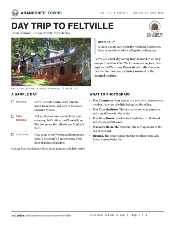
Take it with you
Day trip itinerary
The essentials, the sample day with boxes to tick, what to photograph and the coordinates, on two printable pages. Handy where there's no signal.
Download the PDF (646 KB)Feltville is a half-day outing from Summit or an easy escape from New York. Walk the mile-long tour, then explore the Watchung Reservation's trails. Come in October for the county's history weekend or the haunted hayrides.
A sample day
- Drive Glenside Avenue from Summit, about 10 minutes, and park in the lot off Glenside Avenue.
- Pick up the brochure and walk the tour: cemetery, Felt's office, the Church/Store, The Commons, the mill site and Masker's Barn.
- Hike some of the Watchung Reservation's trails. The county's 6-mile History Trail links 16 points of interest.
Coming from Manhattan? Allow about 40 minutes in light traffic.
What to photograph and film
- The Commons. Four houses in a row, with the resort-era porches. Late-day side light brings out the siding.
- The Church/Store. The only porch you may step onto, and a good frame for the belfry.
- The Blue Brook. A bridle trail leads down to the brook and the site of Felt's mill.
- Masker's Barn. The restored 1882 carriage house at the end of the road.
- Drones. The county's page doesn't mention them. Ask Union County Parks first.
Map & directions
Getting there
Summit is the closest town, about 10 minutes away. From Manhattan the route goes through the Holland Tunnel, over the Pulaski Skyway and out I-78, then joins Glenside Avenue. Both end on Cataract Hollow Road.


Base map: USGS The National Map (public domain). Routes: OSRM on © OpenStreetMap contributors data (ODbL), computed October 2026. Times assume dry roads.
- From downtown Summit, take Morris Avenue.0.7 mi
- Turn right on Glenside Avenue (CR 527) and follow it.2.8 mi
- Turn left on Cataract Hollow Road to the village.0.2 mi
- From City Hall, take Hudson Street to the Holland Tunnel.1.2 mi
- Follow NJ 139 over the Pulaski Skyway, then US 1/9 to I-78 west.18.4 mi
- Exit to NJ 24, then take Broad Street and Morris Avenue in Summit.1.9 mi
- Turn left on Glenside Avenue (CR 527), then left on Cataract Hollow Road.3.0 mi
Road and safety notes
- The tour starts and ends at the parking lot just off Glenside Avenue.
- Some houses are lived in. Stay off the porches and respect residents' privacy.
- Dogs must be on a leash under county ordinance.
Photos
Feltville in photos
Visitor reports
Been to Feltville?
Been there lately? Tell the next visitor what you found: whether you could get in, the state of the road and what's still standing. Photos are welcome. We read every report before it appears here.
Mill, lumber and company
More mill, lumber and company ghost towns
The nearest in New Jersey.

 Guide
Double Trouble Village
39.90, -74.22Ocean County, New Jersey
A lumber and cranberry company town on Cedar Creek, with its sawmill, packing house, school and workers' cottages still standing. New Jersey calls it…
 Guide
Harrisville
39.66, -74.52Burlington County, New Jersey
A paper mill town on the Oswego River that was abandoned in 1891 and burned in 1914. Its mill ruins stand in Wharton State Forest, fenced off by the…
Nearby
Other sites near Feltville
Straight-line distance from the townsite to other mapped sites in our New Jersey index.
- Raritan Landing12.4 mi S · Middlesex
- Hibernia19.0 mi N · Morris
- Waterloo Village25.2 mi NW · Sussex
- Monksville30.9 mi N · Passaic
- Long Pond Ironworks32.0 mi N · Passaic
- Asbury Park37.4 mi SE · Monmouth
- Foul Rift38.1 mi W · Warren
- Allaire Village38.6 mi S · Monmouth
Sources
Sources and credits
- ghosttowns.com, "Feltville / Glenside Park / Watchung Village": fact sheet fields (roads, climate, best time).
- Wikipedia, "Feltville Historic District", retrieved October 2026: the three-sisters legend.
- Union County, "The Deserted Village of Feltville/Glenside Park", read October 2026: history and dates, the Willcocks and Badgley cemetery, walking tour and brochure, hours, restrooms, porch and dog rules, National Register listing, restoration spending, the History Trail, October events.
- Elevation: USGS 3D Elevation Program point query. Routes: OSRM on OpenStreetMap data, October 2026.
Photo and map credits
- Houses in the Deserted Village, 2009: Daniel Case, Wikimedia Commons, CC BY-SA 3.0
- The Willcocks and Badgley family cemetery, 2011: Jared Kofsky, Wikimedia Commons, CC BY-SA 3.0
- Houses with picket fences, 2011: Jared Kofsky/PlaceNJ.com, Wikimedia Commons, CC BY-SA 3.0
- Walkers on a reservation road near the village, 2023: SeichanGant, Wikimedia Commons, CC BY-SA 4.0
- A wooded road in the historic district, 2023: SeichanGant, Wikimedia Commons, CC BY-SA 4.0
- Empty houses facing each other across a leaf-covered rise, January 2012: Mdalamers, Wikimedia Commons, CC BY-SA 3.0
- Masker's Barn, January 2012: Mdalamers, Wikimedia Commons, CC BY-SA 3.0
- Area base map, topo and aerial imagery: USGS The National Map (public domain).
- Historic maps: USGS Historical Topographic Map Collection (public domain): Plainfield 1888, 1:62,500; Plainfield 1893, 1:62,500; Chatham 1947, 1:24,000; Chatham 1955, 1:24,000; Chatham 1995, 1:24,000.