 Abandoned

Overview
The port that moved across the river

Raritan Landing stood on the north bank of the Raritan River in Piscataway, across from New Brunswick. It was as far upstream as ocean-going ships could sail, and from the 1720s farm goods and lumber from the Raritan Valley filled its warehouses for shipment to New York and sometimes the Caribbean. By 1740 it had about 70 structures and more than 100 people. In 1741 the merchant Cornelius Low built a stone house on the bluff above, and it still stands.
The Revolution hit the town at its peak. British and Hessian troops occupied it and burned fences, barns and houses for firewood, and many people never came back. Those who returned went back to trading, but the town never regained its standing, and after the Delaware and Raritan Canal opened in 1834, trade moved across the river to New Brunswick. In the 1870s new owners bought up the lots, pulled down what was left and turned the town into pasture.
Then it was forgotten. The archaeologist Rebecca Yamin writes that no photographs, paintings or detailed maps of the town survive. Road and sewer projects since the 1970s have brought up building foundations and hundreds of thousands of artifacts, and Middlesex County now tells the story at the Low House and at East Jersey Old Town Village in Johnson Park.
Timeline
Port, occupation, pasture, park

- The first settlers occupy the flats on the north bank of the Raritan, across from New Brunswick.
- A port grows at the highest point on the river that ocean-going ships can reach. Warehouses hold farm produce and lumber for shipment to New York and sometimes the Caribbean.
- About 70 structures and more than 100 people.
- Cornelius Low, a merchant of Dutch ancestry, builds his stone house on the bluff above the landing.
- At its commercial peak the village is occupied by British and Hessian troops, who burn fences, barns and even houses for firewood. Many residents flee, and some never return.
- Landing Lane is still lined with blacksmiths, coopers, stores and warehouses.
- The Delaware and Raritan Canal is built, and trade shifts to New Brunswick.
- New owners combine the small lots into farms, tear down the remaining buildings and graze cattle and sheep where the town stood.
- Cornelius C. Vermeule publishes a reconstructed map of the vanished town. In 2011 Yamin called it the only known image of the community.
- Rutgers archaeologists begin work. The archaeological site is listed on the National Register, and Middlesex County buys the Low House.
- The National Register listing is enlarged.
- The largest digs, tied to the rebuilding of Route 18, begin in 2000. A 50-foot warehouse foundation is uncovered in 2005.
What's left
Under the lawns

There are no ruins above ground. The county says the remains of the town lie buried in Johnson Park, and Yamin writes that much of it is still under the park's lawns and under the pavement of Route 18 and River Road. Its center was the junction of Landing Lane and River Road, below the Low House and about a third of a mile west of the park point on our map. Yamin hoped the warehouses that lined the riverbank at the foot of Landing Lane would one day be dug; as of 2011 they lay unexcavated under the grass.
Two buildings survive on the bluff. The Cornelius Low House, a Georgian house of 1741 with its original floorboards, windowpanes and delft fireplace tiles, is the county's museum; the county calls it one of only two surviving structures from the town. Wikipedia lists the Metlar-Bodine House at 1281 River Road among the surviving buildings too, and a photo from April 2025 shows it standing. East Jersey Old Town Village, a collection of 16 old buildings moved into Johnson Park in the 1970s, shows finds from the Landing's digs.
The 1888 USGS sheet labels the crossing "Raritan Landing," with only a road and a bridge left. By 1947 the sheet labels Johnson Park, with its oval track, on the river flats east of the Landing Lane bridge.
- Cornelius Low House (1741), now the Middlesex County Museum
- Metlar-Bodine House
- Landing Lane and River Road, the old town's streets
- Buried foundations under Johnson Park
- Finds displayed at East Jersey Old Town Village


Historic maps
Raritan Landing on USGS maps, 1888–1995
Crops from the USGS Historical Topographic Map Collection, centered on the townsite. Each sheet shows what surveyors mapped that year; compare them with today's topo and aerial on this page.
Day trip
Plan a day trip to Raritan Landing from New Brunswick
Take it with you
Day trip itinerary
The essentials, the sample day with boxes to tick, what to photograph and the coordinates, on two printable pages. Handy where there's no signal.
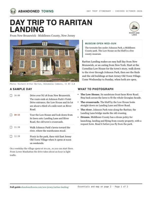
Download the PDF (568 KB)Raritan Landing makes an easy half day from New Brunswick, or an outing from New York. Start at the Cornelius Low House for the town's story, walk down to the river through Johnson Park, then see the finds and the old buildings at East Jersey Old Town Village. Come Wednesday to Sunday, when both are open.
A sample day
- Drive over NJ 18 from New Brunswick. The route ends at Johnson Park's Violet Drive entrance; the Low House and its lot are about a third of a mile west on River Road.
- Tour the Low House and look down from its lawn onto Landing Lane and River Road, the old town's crossroads.
- Walk Johnson Park's lawns toward the river, where the warehouses stood.
- Picnic in the park, then visit East Jersey Old Town Village when it opens at noon on weekends.
On a weekday the village opens at 10 a.m., so you can start there. From Lower Manhattan the drive takes about an hour in light traffic.
What to photograph and film
- The Low House. Its sandstone front faces River Road. Step back across the lawn to fit the whole Georgian facade.
- The crossroads. The bluff by the Low House looks straight down on Landing Lane and River Road.
- The river. Johnson Park runs along the Raritan; the Landing Lane bridge marks the old crossing.
- Drones. Middlesex County has a drone policy for launching, landing and flying from county property, with a request form. Read it before you fly from the park.
Map & directions
Getting there
New Brunswick is just across the river, a few minutes away by NJ 18. From Manhattan the route goes through the Holland Tunnel, over the Pulaski Skyway and down the New Jersey Turnpike to exit 9. Both end on River Road at Johnson Park.

Base map: USGS The National Map (public domain). Routes: OSRM on © OpenStreetMap contributors data (ODbL), computed October 2026. Times assume dry roads.
- From downtown New Brunswick, take Livingston Avenue (CR 691).0.6 mi
- Turn right on New Street and follow the Route 18 service road onto NJ 18 north.0.9 mi
- Follow NJ 18 (Memorial Parkway) across the river and take the River Road exit.1.5 mi
- Turn left on River Road, then right on Violet Drive (CR 807) into Johnson Park.0.3 mi
- From City Hall, take Park Row, Church Street and Hudson Street into the Holland Tunnel (I-78).2.9 mi
- Follow NJ 139 over the Pulaski Skyway, then US 1/9 south.7.5 mi
- Take the Newark Bay Extension to the New Jersey Turnpike (I-95) south.21.6 mi
- Leave at exit 9, follow NJ 18 north to the River Road exit, turn left on River Road and right on Violet Drive into Johnson Park.5.2 mi
Road and safety notes
- Both routes end at Johnson Park's middle entrance, River Road at Violet Drive. The Low House is about a third of a mile west, on River Road at Landing Lane.
- The Low House's parking lot is off River Road next to the house. East Jersey Old Town Village has free parking at 1050 River Road.
- The county posts closure dates at the top of each museum's page. Check them before a long drive.
- The park lawns cover a National Register archaeological site. Leave anything you find where it lies.
Photos
Raritan Landing in photos
Visitor reports
Been to Raritan Landing?
Been there lately? Tell the next visitor what you found: whether you could get in, the state of the road and what's still standing. Photos are welcome. We read every report before it appears here.
River and lake
More river and lake ghost towns
The nearest in New Jersey.

 Guide
Waterloo Village
40.92, -74.76Sussex County, New Jersey
A stopover halfway along the Morris Canal that emptied when the canal died, came back as a museum village and concert ground, and closed again in…
 Guide
Foul Rift
40.80, -75.10Warren County, New Jersey
A river landing at the most dangerous stretch of the Delaware, then a mill site, then a colony of summer cottages. Floods wrecked the cottages…
Nearby
Other sites near Raritan Landing
Straight-line distance from the townsite to other mapped sites in our New Jersey index.
- Feltville12.4 mi N · Union
- Allaire Village29.8 mi SE · Monmouth
- Hibernia30.0 mi N · Morris
- Asbury Park30.8 mi SE · Monmouth
- Waterloo Village32.1 mi NW · Sussex
- Whitesbog38.2 mi S · Burlington
- Foul Rift39.2 mi NW · Warren
- Crossley39.5 mi S · Ocean
Sources
Sources and credits
- Wikipedia, "Raritan Landing, New Jersey", retrieved October 2026: head of navigation, settlement and population figures, the 1825 street, the canal, the 1870 decline, Vermeule's map, National Register listings of 1979 and 1984, the Metlar-Bodine House, coordinates.
- Middlesex County, "Raritan Landing", read October 2026: remains buried in Johnson Park, excavations, Register listing, the augmented-reality tour, guide, book and podcast.
- Middlesex County, "Cornelius Low House Museum", read October 2026: the 1741 house, Low family history, 1979 purchase, one of two surviving structures, hours, free admission, 2026 closure dates, address, phones, parking, accessibility, the 2026 exhibit.
- Middlesex County, "East Jersey Old Town Village", read October 2026: hours, free admission, closures, the 16 relocated buildings, Raritan Landing finds, interpreters, parking, picnic tables, general store, accessibility.
- Middlesex County, "Johnson Park", read October 2026: the 478-acre county park in Piscataway and Highland Park, its River Road entrances at Violet Drive and Cedar Lane, its GPS point.
- Middlesex County Drone Policy, read October 2026: the policy and request form for drone use on county property.
- Wikipedia, "Cornelius Low House" and "Metlar–Bodine House", retrieved October 2026: the two houses' locations on River Road.
- Rebecca Yamin, Rediscovering Raritan Landing: An Adventure in New Jersey Archaeology (NJ Department of Transportation, 2011): the occupation, the 1870s farms, the lack of images, unexcavated warehouses, the 2000 and 2005 digs, remains under Route 18 and River Road.
- Elevation: USGS 3D Elevation Program point query. Routes: OSRM on OpenStreetMap data, October 2026.
Photo and map credits
- The Cornelius Low House, built in 1741 (undated photo): Richard Arthur Norton, Wikimedia Commons, CC BY 3.0
- "Raritan Landing" on the 1888 USGS sheet: U.S. Geological Survey, USGS catalog, Public domain
- River Road and Landing Lane from the Low House bluff, 2008: Jerrye & Roy Klotz, MD, Wikimedia Commons, CC BY-SA 4.0
- The Metlar-Bodine House on River Road, July 2014: Zeete, Wikimedia Commons, CC BY-SA 3.0
- The Metlar-Bodine House Museum, April 2025: Magpieturtle, Wikimedia Commons, CC BY-SA 4.0
- Johnson Park on the flats on the 1947 USGS sheet: U.S. Geological Survey, USGS catalog, Public domain
- Area base map, topo and aerial imagery: USGS The National Map (public domain).
- Historic maps: USGS Historical Topographic Map Collection (public domain): Plainfield 1888, 1:62,500; Plainfield 1893, 1:62,500; Plainfield 1947, 1:24,000; Plainfield 1955, 1:24,000; Plainfield 1995, 1:24,000.