 Abandoned

Overview
Halfway down the canal
Waterloo sits on the Musconetcong River in Byram Township, where the Morris Canal climbed through the hills of northwest New Jersey. The canal opened in 1831 and ran about 102 miles from Jersey City to Phillipsburg, carrying Pennsylvania coal east. Waterloo was roughly halfway, a natural overnight stop on the two-day trip. The village had an inn, a store, a church, a smithy for the mules and a watermill.
Traffic peaked in the late 1860s, then railroads took the coal. After 1900 about one boat a year used the canal, and it was abandoned in 1924. The village emptied. In 1967 Percy Leach and Lou Gualandi began restoring it, with blacksmiths, potters and weavers, and from 1977 a concert field drew stars and huge crowds.
Money and controversy caught up with the foundation, and the village closed in December 2006. It is now part of Allamuchy Mountain State Park. The park is open daily, and the Canal Society of New Jersey runs its canal museum in the village on summer and fall Saturdays.
Timeline
Canal, revival and closing

- The Morris Canal opens, about 102 miles from Jersey City to Phillipsburg. Waterloo, near the halfway point, is well placed for an overnight stop on the two-day trip.
- The village has an inn, a general store, a church, a blacksmith shop for the canal mules and a watermill.
- The Methodist church's cornerstone is laid in August 1859; it is dedicated in February 1860.
- Canal traffic, mostly Pennsylvania anthracite, peaks. Railroads, including the Lackawanna's Sussex Branch, then take most of it.
- About one boat a year uses the canal, just enough to keep its charter.
- The Morris Canal is officially abandoned. By the Depression the village's original families have gone.
- Hobos riding the Lackawanna, which slows on a steep grade nearby, camp at the empty village.
- Percy Leach founds the Waterloo Foundation for the Arts and, with Lou Gualandi, restores the village as a living-history attraction.
- Waterloo is listed on the National Register. A concert field opens to raise money, later hosting Johnny Cash, Bob Dylan, Lollapalooza and the Dodge Poetry Festival.
- After state funding is cut, the village closes. Only the privately owned Methodist church stays in use.
- A concession agreement with NJ State Parks makes group tours and programs available by reservation, including Winakung at Waterloo's Lenape village programs.
What's here
What you'll see


The historic district covers about 70 acres. A water-filled stretch of the Morris Canal runs past the restored buildings, and the Canal Society calls it a nice stroll. On open Saturdays, the Canal Society museum covers both the Morris and the Delaware and Raritan canals, and the Highlands Canal Boat Exhibit in the White Barn holds a preserved 10-foot bow section of a Morris Canal boat. The gristmill opens the same days. Wikipedia says the Methodist church of 1859 is privately owned and still holds services.
On the 1888 sheet below, Waterloo sits on the north bank of the Musconetcong with rail lines across the valley to the south. The 1954 sheet labels the canal just below the village and the Waterloo Lakes to the east.
- Morris Canal and lock
- Smith's General Store
- Homestead houses
- Methodist church (1859)
- Gristmill
- Canal Society museum
- Highlands Canal Boat Exhibit


Historic maps
Waterloo Village on USGS maps, 1888–1954
Crops from the USGS Historical Topographic Map Collection, centered on the townsite. Each sheet shows what surveyors mapped that year; compare them with today's topo and aerial on this page.

Day trip
Plan a day trip to Waterloo Village from Hackettstown
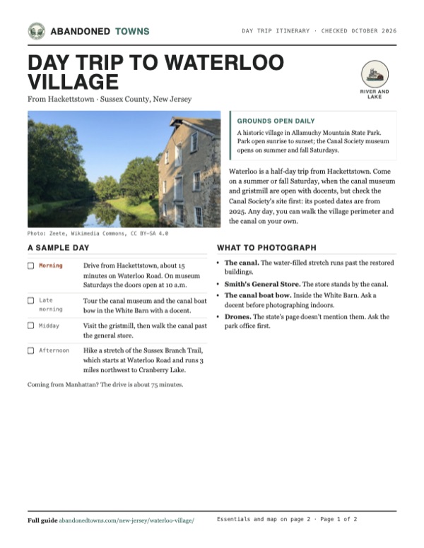
Take it with you
Day trip itinerary
The essentials, the sample day with boxes to tick, what to photograph and the coordinates, on two printable pages. Handy where there's no signal.
Download the PDF (539 KB)Waterloo is a half-day trip from Hackettstown. Come on a summer or fall Saturday, when the canal museum and gristmill are open with docents, but check the Canal Society's site first: its posted dates are from 2025. Any day, you can walk the village perimeter and the canal on your own.
A sample day
- Drive from Hackettstown, about 15 minutes on Waterloo Road. On museum Saturdays the doors open at 10 a.m.
- Tour the canal museum and the canal boat bow in the White Barn with a docent.
- Visit the gristmill, then walk the canal past the general store.
- Hike a stretch of the Sussex Branch Trail, which starts at Waterloo Road and runs 3 miles northwest to Cranberry Lake.
Coming from Manhattan? The drive is about 75 minutes.
What to photograph and film
- The canal. The water-filled stretch runs past the restored buildings.
- Smith's General Store. The store stands by the canal.
- The canal boat bow. Inside the White Barn. Ask a docent before photographing indoors.
- Drones. The state's page doesn't mention them. Ask the park office first.
Map & directions
Getting there
Hackettstown is the closest town, about 15 minutes away on Waterloo Road (CR 604). From Manhattan the route goes through the Holland Tunnel and out I-280 and I-80 to the US 206 exit.


Base map: USGS The National Map (public domain). Routes: OSRM on © OpenStreetMap contributors data (ODbL), computed October 2026. Times assume dry roads.
- From downtown Hackettstown, take High Street and Franklin Street.0.5 mi
- Turn left on Willow Grove Street (CR 604), which becomes Waterloo Road.5.9 mi
- Turn right on Waterloo Valley Road and follow the drive into the village.0.2 mi
- From City Hall, take Hudson Street to the Holland Tunnel and NJ 139.3.3 mi
- Follow US 1-9 Truck, NJ 7 and CR 508 to I-280 west.4.3 mi
- Take I-280 west, then I-80 west to the US 206 exit.36.7 mi
- Take Continental Drive North, then left on Waterloo Road and left on Waterloo Valley Road.2.8 mi
Road and safety notes
- Waterloo Road (CR 604) leads to the village; the Canal Society gives the address as 525 Waterloo Road, Stanhope.
- There are no trash cans in the park. Carry out what you bring.
- No swimming in the park. Pets must be on a leash no longer than six feet.
- Ticks and black bears live here. Use repellent, and never feed or approach a bear.
Photos
Waterloo Village in photos
Visitor reports
Been to Waterloo Village?
Been there lately? Tell the next visitor what you found: whether you could get in, the state of the road and what's still standing. Photos are welcome. We read every report before it appears here.
River and lake
More river and lake ghost towns
The nearest in New Jersey.

 Guide
Foul Rift
40.80, -75.10Warren County, New Jersey
A river landing at the most dangerous stretch of the Delaware, then a mill site, then a colony of summer cottages. Floods wrecked the cottages…
 Guide
Raritan Landing
40.51, -74.46Middlesex County, New Jersey
For a century and a half the head of navigation on the Raritan River had a busy port town. It is gone, buried under the lawns of Johnson Park, but a…
Nearby
Other sites near Waterloo Village
Straight-line distance from the townsite to other mapped sites in our New Jersey index.
- Hibernia13.9 mi E · Morris
- Millbrook15.3 mi NW · Warren
- Walpack Center18.0 mi N · Sussex
- Foul Rift19.5 mi SW · Warren
- Feltville25.2 mi SE · Union
- Monksville27.8 mi NE · Passaic
- Long Pond Ironworks28.0 mi NE · Passaic
- Raritan Landing32.1 mi SE · Middlesex
Sources
Sources and credits
- Wikipedia, "Waterloo Village, New Jersey", retrieved October 2026: canal history, hobos, revival, concerts, closing, the 2014 concession, church, acreage, National Register.
- NJ State Parks, "Allamuchy Mountain State Park" (updated August 16, 2026; read from the Internet Archive copy of September 24, 2026, because the live site blocks automated readers): gate hours, no entrance fee, self-guided perimeter tour, Sussex Branch Trail, rules, permits, phone.
- Canal Society of New Jersey, "Waterloo Museum", read October 2026: museum days, hours and posted season, exhibits, docents, address, wildlife. Its events page lists 2026 meetings but no 2026 museum schedule.
- Elevation: USGS 3D Elevation Program point query. Routes: OSRM on OpenStreetMap data, October 2026.
Photo and map credits
- The Morris Canal and Smith's General Store, August 2018: Zeete, Wikimedia Commons, CC BY-SA 4.0
- The canal lock at Waterloo, photochrom of 1900: Detroit Photo Company, Wikimedia Commons, CC0
- Lock 3 West, with the canal running on past the village, August 2018: Zeete, Wikimedia Commons, CC BY-SA 4.0
- The Canal Society museum, August 2018: Zeete, Wikimedia Commons, CC BY-SA 4.0
- Area base map, topo and aerial imagery: USGS The National Map (public domain).
- Historic maps: USGS Historical Topographic Map Collection (public domain): Hackettstown 1888, 1:62,500; Hackettstown 1894, 1:62,500; Hackettstown 1905, 1:62,500; Tranquility 1943, 1:31,680; Tranquility 1954, 1:24,000.